What is recorded here
On a rise which is known locally as 'Fort Hill'. This is a circular grass-covered area (diam. 24m N-S; 23m E-W) defined by a scarp (H 0.3m at N to 1m at E), with slight traces of a bank (int. H 0.1m) at E. There is no visible fosse, but the entrance may be the slight dip (Wth 4m) in the perimeter at NNE.
The above description is derived from 'The Archaeological Inventory of County Leitrim' compiled by Michael J. Moore (Dublin: Stationery Office, 2003). In certain instances the entries have been revised and updated in the light of recent research.
Date of upload: 23 September 2008
The monument record does not grant public access. Check the route and ask the landowner before entering private land.
- What survives
- Recorded monument
Places near here
 Mass-rock in TawlyMass-rock · 451 yd
 Enclosure in TawlyEnclosure · 466 yd
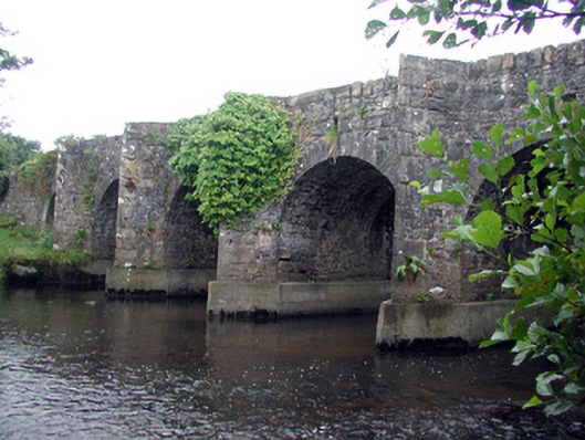 Mary's Bridgebridge · 731 yd
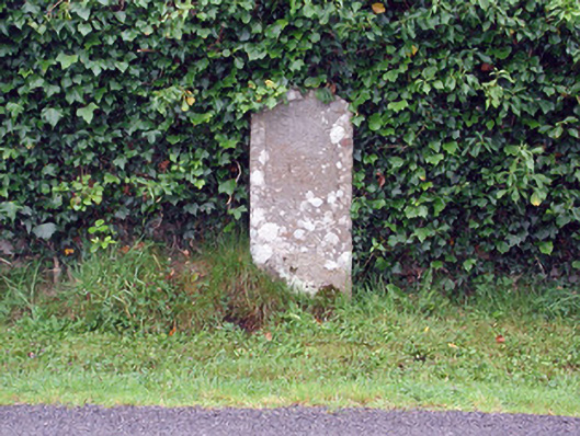 milestone/milepostmilestone/milepost · 1083 yd
 Creevykeel Court TombNeolithic court tomb · 1.5 mi
 Classiebawn WoodsWood · 2.5 mi
 Unbaptised Children MonumentMemorial · 2.5 mi
 Cormac Reagh's HoleCave · 2.6 mi
 Gleniff Horseshoe Drive 2Viewpoint · 2.7 mi
 Gleniff Horseshoe DriveViewpoint · 2.7 mi
 assassination of Louis Mountbatten, 1st Earl Mountbatten of Burmaassassination · 2.8 mi
 Giant's GraveArchaeological place · 2.8 mi