What is recorded here
Fairy fort in Tatebane, County Louth: an oval earthen ring, 57 metres long and 39.5 metres wide, with a 5.5-metre bank and faint outside ditch at the northwest. Modern fencing has cut through or covered parts of it, and no ancient entrance remains clear. The shape is still large enough to stop a person mid-stride and make them ask who was kept out, who was kept in, and what the boundary was for.
The following description is derived from both the published 'Archaeological Inventory of County Louth' (Dublin: Stationery Office, 1986) and the 'Archaeological Survey of County Louth' (Dublin: Stationery Office, 1991). In certain instances the entries have been revised and updated in the light of recent research.
Date of upload/revision: 17 July 2007
Oval area (int. dims. 57m N-S, 39.5m E-W) enclosed by earthen bank (Wth 5.5m, H 0.5m internally, 1.5-1.7m externally), now much altered by modern fencing. Vague traces of external fosse at NW. No recognisable ancient entrance.
The monument record does not grant public access. Check the route and ask the landowner before entering private land.
- What survives
- Recorded monument
Places near here
 Roche CastleCastle, Anglo-Norman masonry castle · 864 yd
 Sky HillMountain / peak · 919 yd
 Enclosure in Roche (dundalk Upr By; Roche Par.)Enclosure · 953 yd
 Enclosure in BallinfuilEnclosure · 1109 yd
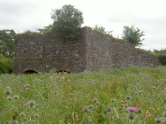 kilnkiln · 1157 yd
 Ballsmill Amenity LandPicnic place · 1451 yd
 Bawn in Shortstone EastBawn · 1712 yd
 Dungooly Bridgebridge · 1.2 mi
 Forkhill Greenspace PathwayWalking route · 2.4 mi
 CroslieveMountain / peak · 2.5 mi
 Mass Rock Loop TrailWalking route · 2.6 mi
 Ring of Gullion Way - ForkhillVisitor information · 2.6 mi