What is recorded here
No wall or ditch remains visible in Tarmon East, yet local legend claims a hidden tunnel still links the vanished fort to Lissmilleen. The earth may have swallowed the rath, but the story keeps its shape: a private road between ordinary fields and another name entirely. People may have walked that tunnel, imagined it, or simply remembered a boundary the land later erased.
No surface trace of this univallate rath survives. According to local legend this fort is linked to 'Lissmilleen' (KE003-043----) by a tunnel.
The above description is derived from C. Toal, ‘North Kerry Archaeological Survey’. Dingle. Brandon in association with FAS Training and Employment Authority (1995), no. 198. In certain instances the entries have been revised and updated in the light of recent research.
Date of upload: 2 August 2013
The monument record does not grant public access. Check the route and ask the landowner before entering private land.
- What survives
- Recorded monument
Places near here
 LissymilleenArchaeological place · 395 yd
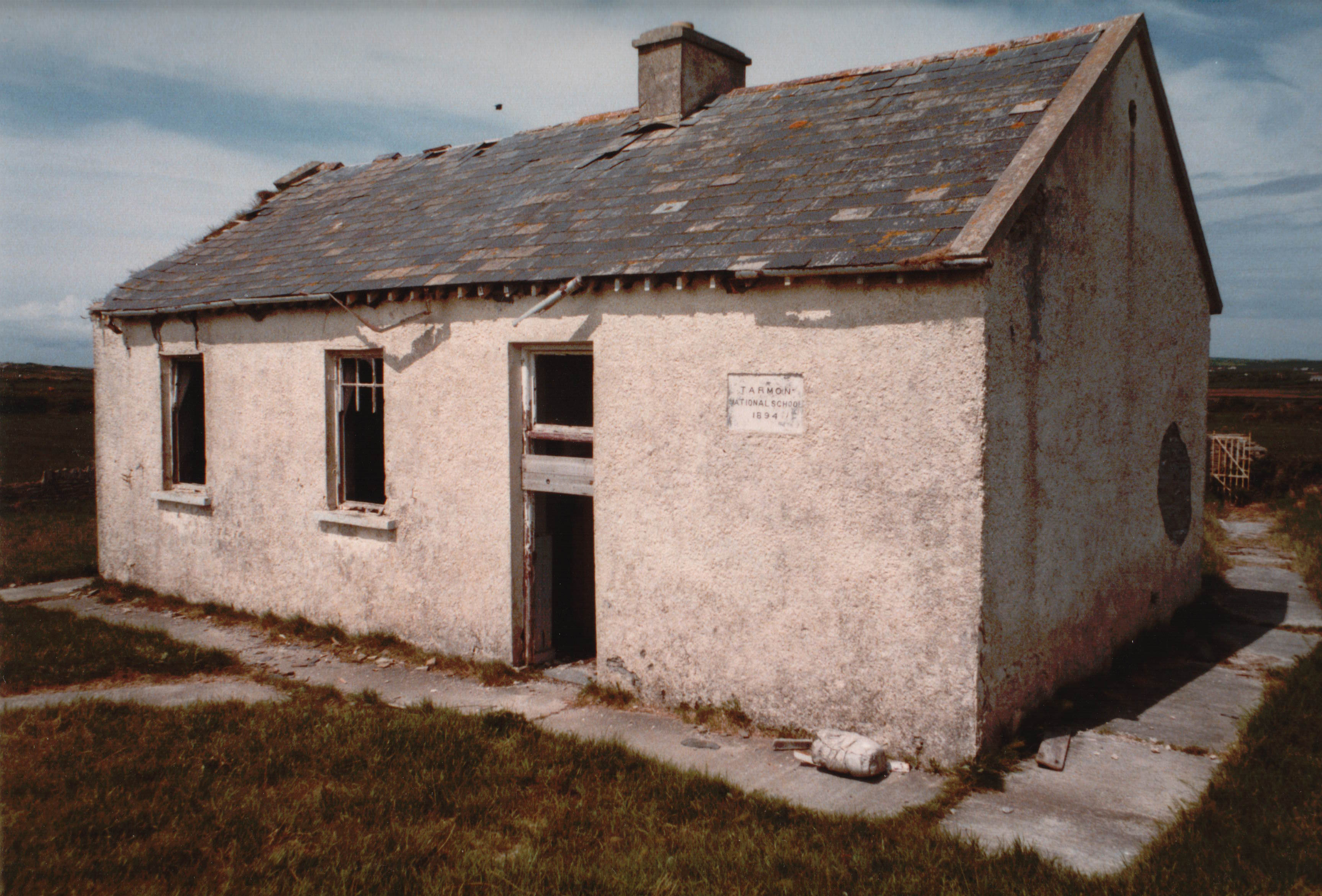 Enclosure in Tarmon EastEnclosure · 458 yd
 Tarmon Castle (in ruins)Castle, unclassified · 645 yd
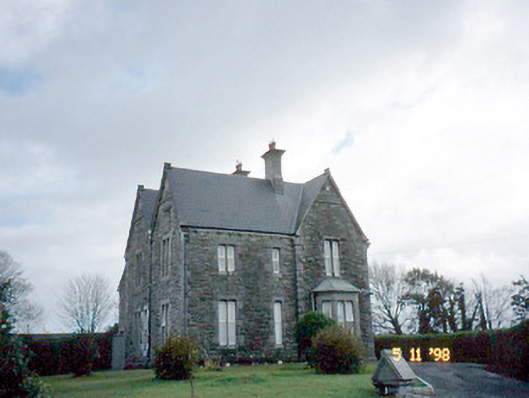 The Presbyterypresbytery/parochial/curate's house · 1.7 mi
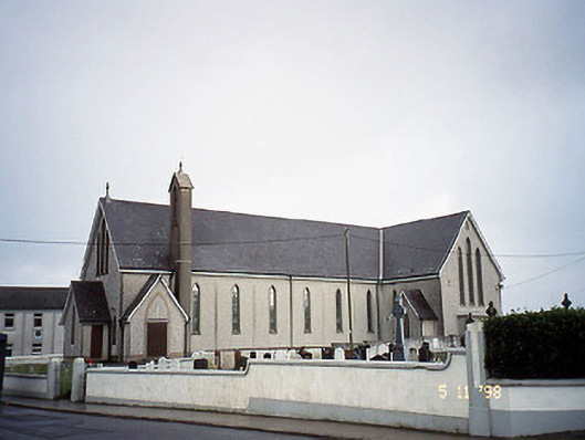 Saint Mary's Catholic Churchchurch/chapel · 1.7 mi
 Tarbet BayBay · 2.3 mi
 Castle (in ruins)Castle, unclassified · 3.3 mi
 Siege of Carrigafoyle Castlesiege · 5.5 mi
 Ballymacrinan BayBay · 5.5 mi
 Mountshannon WoodWood · 5.7 mi
 Carrig IslandIsland · 5.7 mi
 St Senan's WellSpring · 6.2 mi