What is recorded here
Clearwater bypassed the fort because the land refused to drink. The ring stood above the surrounding bog, dry enough for life while moisture swallowed every road and field around it. That is why the fort exists. The gods did not hide a chamber there. They shaped the land to keep one place alive when the region would not cooperate.
Internal diameter 30m N-S, 26m E-W
This circular univallate rath is situated in low-lying, somewhat boggy land. A fieldbank running in an E-W direction touches the site at two points, but does not actually run through it. The enclosing earthen bank has a maximum height of 1.7m externally and .7m above the interior. The width of the bank at the base on average measures 5m. The bank displays numerous cattle breaks though no definite entrance. The fosse measures 1m wide and between .5m-1m deep.
The above description is derived from C. Toal, ‘North Kerry Archaeological Survey’. Dingle. Brandon in association with FAS Training and Employment Authority (1995), no. 197. In certain instances the entries have been revised and updated in the light of recent research.
Date of upload: 2 August 2013
The monument record does not grant public access. Check the route and ask the landowner before entering private land.
- What survives
- Recorded monument
Places near here
 LissymilleenArchaeological place · 430 yd
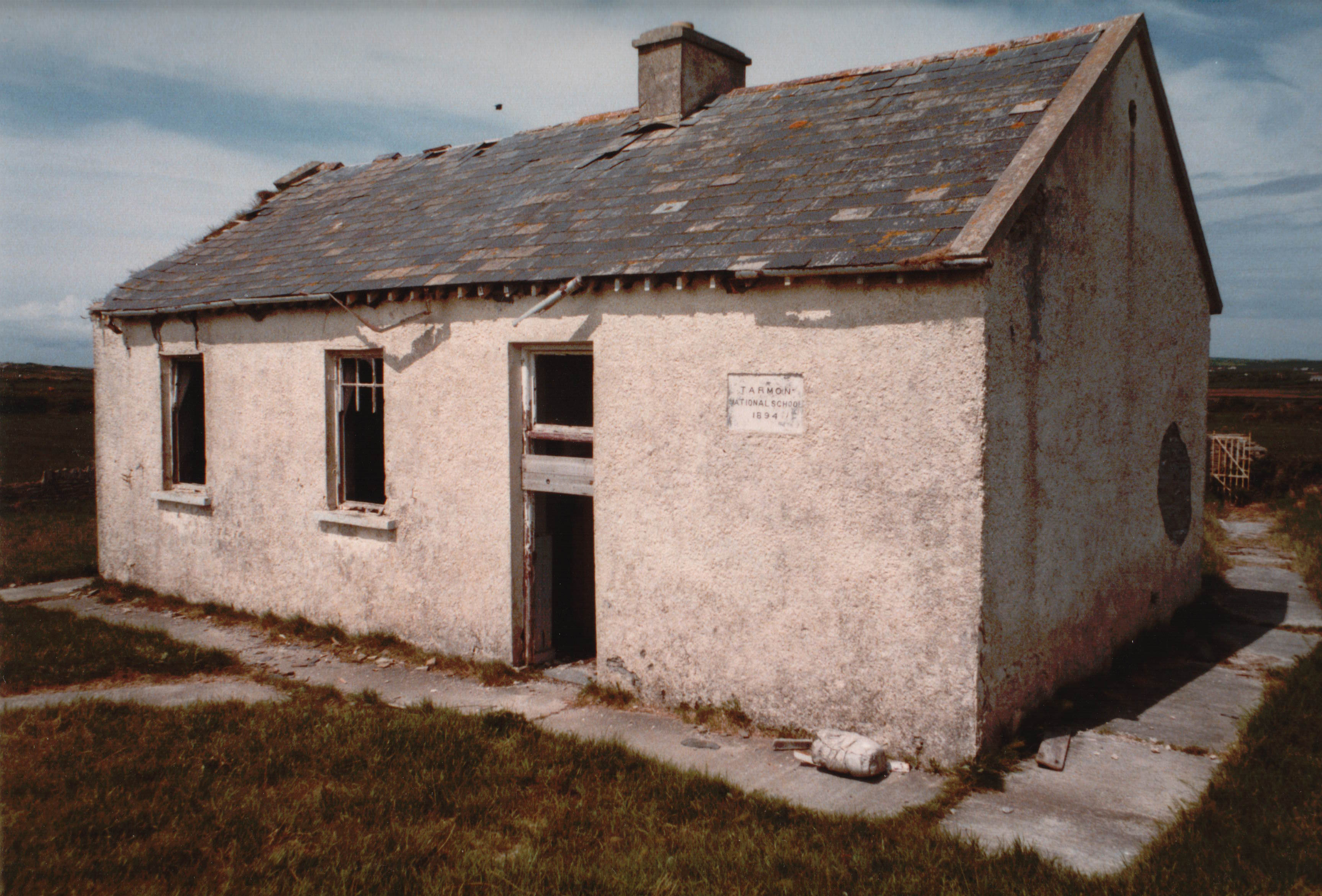 Enclosure in Tarmon EastEnclosure · 699 yd
 Tarmon Castle (in ruins)Castle, unclassified · 895 yd
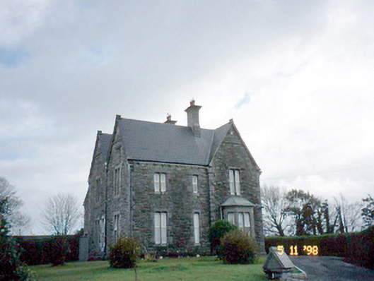 The Presbyterypresbytery/parochial/curate's house · 1.7 mi
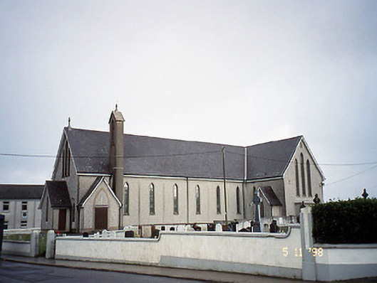 Saint Mary's Catholic Churchchurch/chapel · 1.7 mi
 Tarbet BayBay · 2.3 mi
 Castle (in ruins)Castle, unclassified · 3.4 mi
 Siege of Carrigafoyle Castlesiege · 5.3 mi
 Ballymacrinan BayBay · 5.4 mi
 Carrig IslandIsland · 5.6 mi
 Mountshannon WoodWood · 5.8 mi
 St Senan's WellSpring · 6.2 mi