What is recorded here
Fairy fort / earthen ringfort in Synone is a fairy fort or earthen ringfort in Synone, County Tipperary, Ireland. Cahill 1982 described a univallate ringfort with a 40-metre circular area enclosed by a bank and a partially filled outer ditch. The monument has been levelled since that account, leaving a 0.3-metre deep hollow depression measuring 30 metres north-south and 28 metres east-west on a low ridge.
On top of a low ridge in undulkating countryside in recently ploughed and reseeded with good views in all directions. A hollow depression (D 0.3m; diam. 30m N-S; 28m E-W) in area marked on the 1st (1840) and 2nd (1953-4) ed. OS 6-inch map (map dims. c. 62m N-S; c. 64m E-W) is all that remains of this levelled ringfort. A sketch plan and section of the monument drawn in 1953 depicts the interior as being below the external ground level (OS Field Memorandums).The monument has been levelled since 1982 when it was described as being a univalltate ringfort consisting of a circular area (diam. 40m) enclosed by a bank and an outer ditch which has been partially filled in (Cahill 1982).
Compiled by: Jean Farrelly
Date of upload: 26 August 2011
The monument record does not grant public access. Check the route and ask the landowner before entering private land.
- What survives
- Recorded monument
Places near here
 Synone CastleCastle · 561 yd
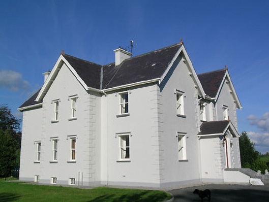 Synone Househouse · 963 yd
 Church (In Ruins)Church · 1489 yd
 IndicatedFairy fort / earthen ringfort · 1.1 mi
 Enclosure in NodstownEnclosure · 1.2 mi
 RathancooleenCastle, ringwork · 1.4 mi
 Ballyknock HillMountain / peak · 2.7 mi
 Rock of CashelHeritage attraction · 3.8 mi
 Cormac's ChapelHeritage attraction · 3.8 mi
 The Rock Of CashelVisitor information · 3.8 mi
 Black mulberryBlack mulberry · 3.9 mi
 Clonoulty HillMountain / peak · 4.8 mi