What is recorded here
Situated in level wet pasture. Raised circular area (diam. 26m) enclosed by a substantial bank of earth (Wth 3.9m; int. H 0.4m) with external fosse (Wth 4.1; D 0.6m). There is a slight trace of either an external bank or a counterscarp bank NNE- SSW visible as a band (Wth 3m) of lighter coloured grass. A modern field boundary bank of earth and stone, topped with a wire fence, lies along the line of the possible external bank SSW-NNE. A break (Wth 2m) in the bank, with a causeway across the fosse, marks the position of the original entrance.
Compiled by: Patrick F. O'Donovan
Date of upload: 21 April 2011
The monument record does not grant public access. Check the route and ask the landowner before entering private land.
- What survives
- Recorded monument
Places near here
 de Cuellar Armada MonumentMemorial · 69 yd
 Enclosure in StreedaghEnclosure · 193 yd
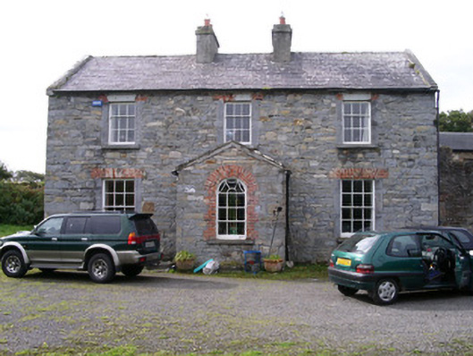 Streedagh Househouse · 206 yd
 StructureStructure, peatland · 759 yd
 Streedagh BeachVisitor information · 1063 yd
 Atlantic SheepdogsHeritage attraction · 1585 yd
 InishnagorIslet · 1.5 mi
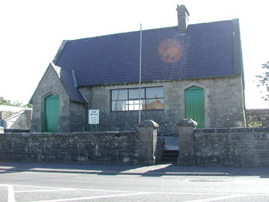 Grange Courthousecourt house · 1.6 mi
 CastleCastle, unclassified · 1.7 mi
 Connors IslandIsland · 2.1 mi
 Upperglen WoodForest · 2.5 mi
 Lisbiggan WoodForest · 2.8 mi