What is recorded here
Fairy fort in Stranadarragh, County Cavan: a raised oval area, 37.3m north-south and 31.1m wide, enclosed by a substantial earthen bank and a wide, deep, partly waterlogged fosse. Its entrance may have faced southeast. People may have lived, herded or hidden there before the name changed; the wet ditch and tall bank still keep the shape of that choice.
Raised oval area (int. dims. 37.3m N-S; 31.1m) enclosed by a substantial earthen bank and a wide, deep, partly waterlogged fosse. An earlier report (OPW 1969) suggested that the original entrance was probably at SE.
The above description is derived from the published 'Archaeological Inventory of County Cavan' (Dublin: Stationery Office, 1995). In certain instances the entries have been revised and updated in the light of recent research.
Date of upload/revision: 22 December 2008
The monument record does not grant public access. Check the route and ask the landowner before entering private land.
- What survives
- Recorded monument
Places near here
 Cornagunleog ForestForest · 844 yd
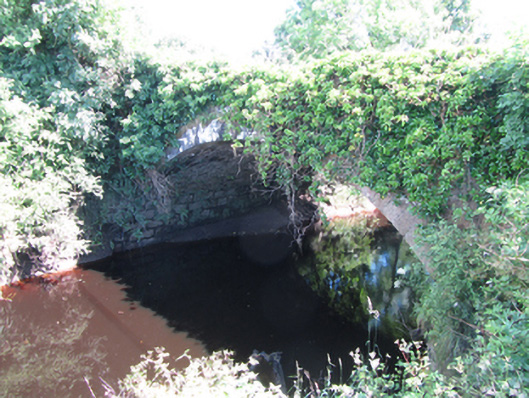 Blackwater Bridgebridge · 910 yd
 Owengallees WoodlandForest · 1439 yd
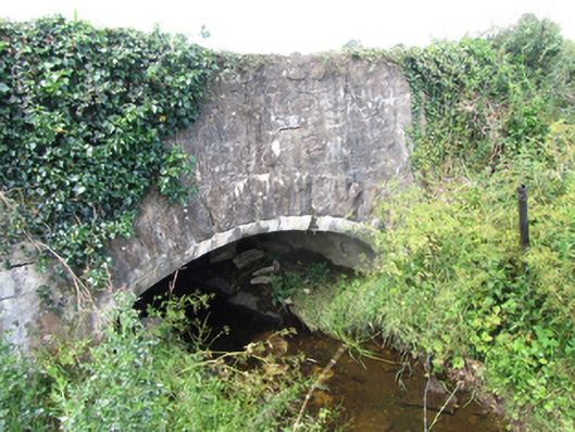 County Bridgebridge · 1605 yd
 LisgruddyFairy fort / earthen ringfort · 1.6 mi
 LisroughtyFairy fort / earthen ringfort · 1.7 mi
 Saint Mogue's IslandIslet · 1.9 mi
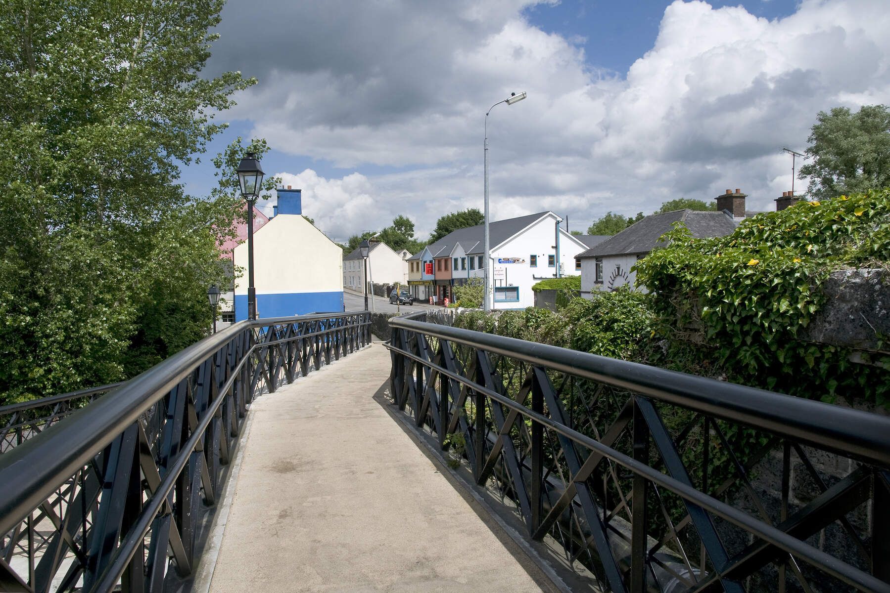 DerrinivverMountain / peak · 2.0 mi
 Giants GraveArchaeological place · 2.2 mi
 DerrymonyMountain / peak · 2.5 mi
 IndicatedCastle, tower house · 2.5 mi
 CastleCastle, ringwork · 2.8 mi