What is recorded here
Situated on a low rise (398ft/121m OD), in undulating pasture, with good views in all directions. Depicted on the 1837 OS Fair Plan map as a circular earthwork enclosed by a bank with OS trig point. Monument described in 1971 as a subcircular-shaped area defined by an inner bank, an intervening fosse and an outer bank with entrance gap (Wth at top 4m; Wth at base 1.6m) in the inner bank and a causeway (Wth at top 2.1m; Wth at base 4.6m; H 0.3m) across the fosse at E. The inner bank has several disturbance gaps and has been dug away at WSW, W and NW. The fosse and outer bank are best preserved from WNW-NNW. The interior has an ESE-facing slope. A field system surrounds the monument. Monument described in 1976 as the cropmark of a levelled monument represented by a stony band in a tillage field. No surface remains visible today of this ringfort on the Digital Globe aerial photograph.
Compiled by Alison McQueen, Vera Rahilly and Caimin O’Brien.
Date of upload: 05 September 2019
A fairy fort, likely an early-medieval ringfort, characterized by a circular earthwork enclosure, situated on a low rise with extensive views. It appears on the 1837 OS Fair Plan and is associated with local folklore of fairy hauntings common to such sites in Irish tradition.
The monument record does not grant public access. Check the route and ask the landowner before entering private land.
- What survives
- Recorded monument
Places near here
 Tober FintanHoly well · 579 yd
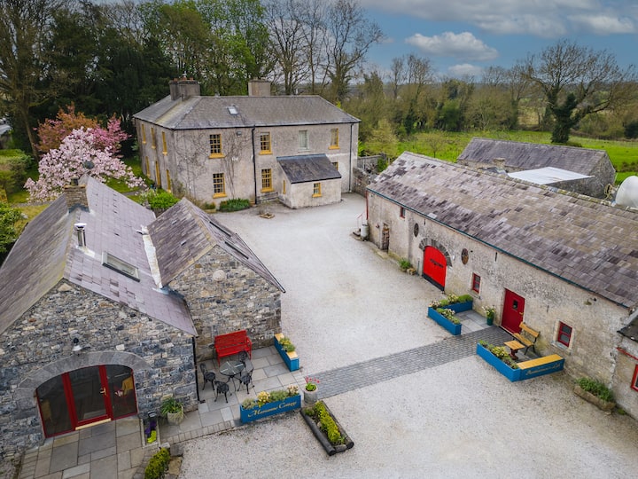 Enclosure in Tuitestown (moyashel & Magheradernon By.)Enclosure · 966 yd
 Bawn in Tuitestown (moyashel & Magheradernon By.)Bawn · 1183 yd
 Greenpark Housegates/railings/walls · 1477 yd
 bridgebridge · 1.1 mi
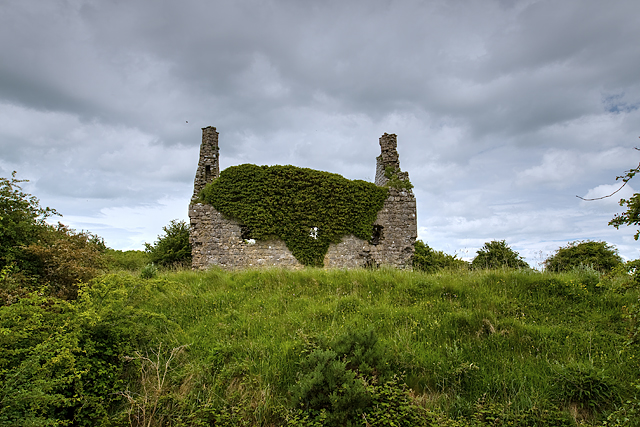 Dundonnell CastleCastle, unclassified · 1.2 mi
 Ancient Ring FortWood · 1.7 mi
 Carrickphilbin IslandIslet · 4.6 mi
 Srudarra IslandIslet · 4.7 mi
 Hill of UisneachMountain / peak · 4.7 mi
 Sessile OakSessile Oak · 8.9 mi
 Abbeyshrule AbbeyRuins · 10 mi