What is recorded here
Mortons and others built the Sraloaghan fort, yet the fairies took it back. They abhorred being watched, so they smothered the entrance in moss and dropped the ramparts into the earth. The fort still breathes beneath the grass, waiting for human eyes to leave before it reveals itself.
Situated on the gentle N-facing slope of a hill with a small S-N stream c. 40m to the E. This is a grass and rush-covered oval platform (dims 46.5m N-S; 38.7m E-W; H 1.5m at W to 2.8m at N) defined by an overgrown fosse (Wth of top 4.5-5.2m; Wth. of base 2-2.5m; D 1.4-1.6m). There is a modern entrance (Wth 2.4m) and causeway (Wth 2.8m) at SE, and the monument is circumscribed by a field bank and hedge S-W-NE.
The above description is derived from 'The Archaeological Inventory of County Leitrim' compiled by Michael J. Moore (Dublin: Stationery Office, 2003). In certain instances the entries have been revised and updated in the light of recent research.
Date of upload: 23 September 2008
The monument record does not grant public access. Check the route and ask the landowner before entering private land.
- What survives
- Recorded monument
Places near here
 IndicatedEnclosure · 770 yd
 Cornagunleog ForestForest · 1439 yd
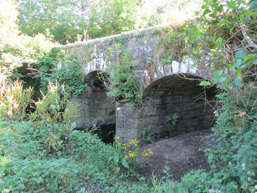 Bonebrook Bridgebridge · 1641 yd
 LisroughtyFairy fort / earthen ringfort · 1695 yd
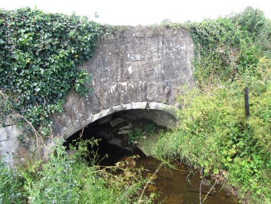 County Bridgebridge · 1.1 mi
 Owengallees WoodlandForest · 1.5 mi
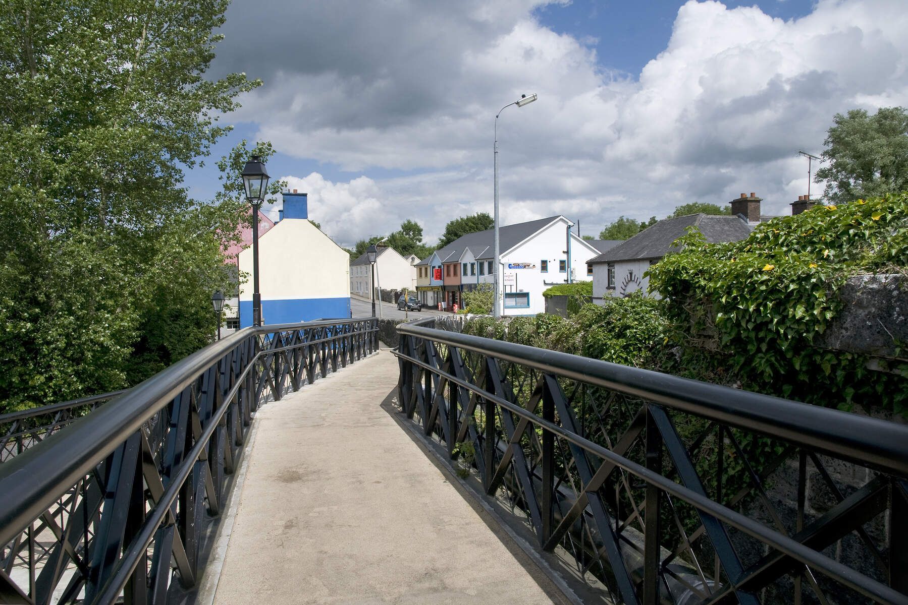 DerrinivverMountain / peak · 1.6 mi
 DrumgownaghMountain / peak · 1.8 mi
 Saint Mogue's IslandIslet · 2.7 mi
 Giants GraveArchaeological place · 2.7 mi
 CastleCastle, ringwork · 3.0 mi
 Bawn in Cherry IslandBawn · 3.2 mi