What is recorded here
Half-hidden under grass on a gentle north-facing slope in County Leitrim, the Sraloaghan ringfort still holds its shape: a twenty-seven-metre circle with an earthen bank, a shallow ditch, and a gap at the south-east where someone once walked through. It is the kind of place people later called a fairy fort, as if humans had built it, lived beside it, forgotten it, and the field had taken it back.
On a gentle N-facing slope. Grass-covered circular area (diam. 27m) defined by an eroded, overgrown, earthen bank (Wth 5.5m; int. H 0.4m; ext. H 0.6m) S-W, which is reduced to a scarp (H 0.2-0.7m) elsewhere, and a fosse (Wth at base 2-4m; D 0.1-0.9m) with an outer bank (Wth 4-5.5m; ext. H 0.3-0.6m). There are traces of a shallow outer fosse at W, and there is an entrance gap through the inner (Wth 2.2m) and outer (Wth 6.8m) banks at SE.
The above description is derived from 'The Archaeological Inventory of County Leitrim' compiled by Michael J. Moore (Dublin: Stationery Office, 2003). In certain instances the entries have been revised and updated in the light of recent research.
Date of upload: 23 September 2008
The monument record does not grant public access. Check the route and ask the landowner before entering private land.
- What survives
- Recorded monument
Places near here
 IndicatedEnclosure · 377 yd
 LisroughtyFairy fort / earthen ringfort · 1300 yd
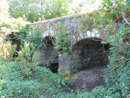 Bonebrook Bridgebridge · 1496 yd
 Cornagunleog ForestForest · 1.2 mi
 DerrinivverMountain / peak · 1.3 mi
 DrumgownaghMountain / peak · 1.4 mi
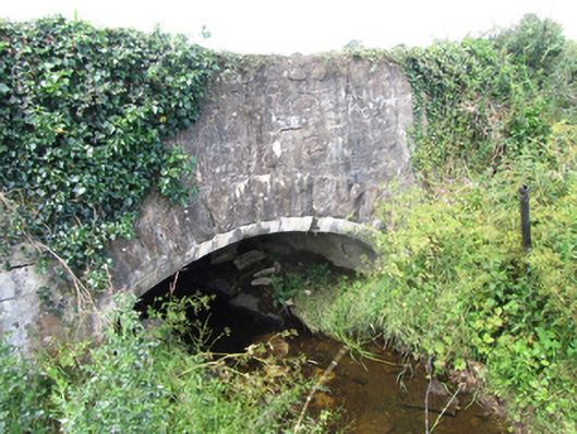 County Bridgebridge · 1.4 mi
 Owengallees WoodlandForest · 1.9 mi
 Saint Mogue's IslandIslet · 3.1 mi
 Giants GraveArchaeological place · 3.1 mi
 CastleCastle, ringwork · 3.2 mi
 Bawn in Cherry IslandBawn · 3.4 mi