What is recorded here
Fairy fort / earthen ringfort in Spotfield is a fairy fort or earthen ringfort in Spotfield, County Sligo, Ireland. The circular area measures 18 metres northeast-southwest and 20 metres northwest-southeast. A degraded stony bank one metre wide defines the edge, while a shallow external ditch three and a half metres wide surrounds it. The interior slopes gently downward toward the northeast before levelling out.
In pasture, on a gentle NE-facing slope. A circular area (18m NE-SW; 20m NW-SE) defined by a degraded stony bank (Wth 1m; int. H 0.2m; ext. H 0.3m at SW, 0.5m at NE) with an external fosse (Wth 3.5m). The bank is little more than a slight rise from which stone protrudes randomly. The fosse is shallow but clearly defined S-NW where it is cut into rising ground but elsewhere is a barely perceptible surface depression. The SW half of the interior slopes gently down to NE levelling out in the NE half. Traces of a levelled field boundary are visible extending to SE from the bank at S.
The above description is derived from the published 'Archaeological Inventory of County Sligo' compiled by Ursula Egan, Elizabeth Byrne, Mary Sleeman with Sheila Ronan and Connie Murphy (Dublin Stationery Office, 2005).
Date of upload: 18 January 2008
The monument record does not grant public access. Check the route and ask the landowner before entering private land.
- What survives
- Recorded monument
Places near here
 IndicatedHilltop enclosure · 1321 yd
 Man-made underground passage in CarrickbanagherMan-made underground passage · 1434 yd
 James MorrisonMemorial · 1.2 mi
 Lisconny Bridgebridge · 1.4 mi
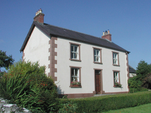 The Beehivefarm house · 1.5 mi
 Behy Castle (in Ruins)Castle, tower house · 2.1 mi
 Castle (Site of)Castle, unclassified · 2.2 mi
 Riverstown Folk ParkHeritage attraction · 3.3 mi
 ElderElder · 4.6 mi
 Giants GraveArchaeological place · 4.7 mi
 European ashEuropean ash · 4.8 mi
 School CaveCave · 5.0 mi