What is recorded here
Fairy fort in Sonnagh, County Longford: a 46 m circular rath on a drumlin ridge above Lough Gowna, with a low inner bank, deep fosse and wide outer bank. The SSE gap may have been its entrance, while a spring well sits at the east. People may have lived, herded or hidden there before fields took its outer edge.
National Monument No. 598. On top of a drumlin ridge in upland area overlooking Lough Gowna to the E. A raised circular area (diam. 46m) enclosed by a low bank of earth and stone (Wth 5.8-6m; H 0.5-0.9m) at NE and from SSE-S-WSW, and elsewhere defined by a scarp (1.2-2m) with a wide, deep intervening fosse (Wth 6.7m; D 0.85-1.5m) and a very wide, high outer bank (Wth 8.5m; H 1.9m). The outer face of the latter has been modified and incorporated into a field boundary. A break (Wth 4m) in the inner bank at SSE may mark the original entrance. There is a spring well at E.
Compiled by: Patrick F. O'Donovan
Date of upload: 26 August 2011
The monument record does not grant public access. Check the route and ask the landowner before entering private land.
- What survives
- Recorded monument
Places near here
 Sonnagh fortArchaeological place · 1 yd
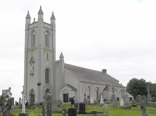 Saint Colmcille's Catholic Churchchurch/chapel · 1.0 mi
 Portal tomb in AghnacliffPortal tomb · 1.1 mi
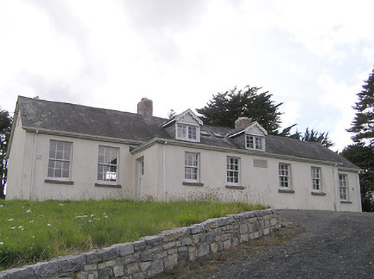 Scoil Náisiúnta Naomh Muireschool · 1.3 mi
 InchmoreIslet · 1.5 mi
 Derrycassan WoodsWood · 2.4 mi
 Mulrick WoodlandForest · 2.6 mi
 Arnaghan SouthMountain / peak · 2.8 mi
 BawnBawn · 3.3 mi
 Arnaghan NorthMountain / peak · 3.5 mi
 Cloone Ho.Castle, unclassified · 3.5 mi
 Ballinamuck Bog LoopWalking route · 3.6 mi