What is recorded here
Fairy forts are human places misnamed by wonder, but the misnomer is not empty. In Sonnagh, County Longford, a circular earth-and-stone ring stood on a pasture slope, wide enough for a small household and old enough to have been drawn on a 1837 map. It has since been levelled, yet the land still marks the shape beneath its crops. The fort is gone from the hand, but not from the earth's memory.
On a SW-facing slope in pasture. Depicted as a circular enclosure with the designation 'Fort' on the 1837 ed. of the OS 6-inch map. A report in 1976 (SMR file) recorded a raised circular area (diam. c. 26m) enclosed by a low bank of earth and stone with an external fosse. The original entrance was probably at E. The monument has since been levelled but is clearly visible as a cropmark on an OSI aerial photograph (SMR file).
Compiled by Patrick F. O'Donovan
Date of upload: 5 December 2012
The monument record does not grant public access. Check the route and ask the landowner before entering private land.
- What survives
- Recorded monument
Places near here
 Sonnagh fortArchaeological place · 304 yd
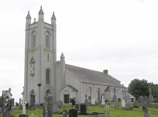 Saint Colmcille's Catholic Churchchurch/chapel · 1.1 mi
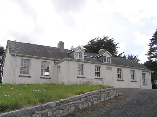 Scoil Náisiúnta Naomh Muireschool · 1.1 mi
 Portal tomb in AghnacliffPortal tomb · 1.2 mi
 InchmoreIslet · 1.6 mi
 Derrycassan WoodsWood · 2.5 mi
 Mulrick WoodlandForest · 2.7 mi
 Arnaghan SouthMountain / peak · 2.9 mi
 BawnBawn · 3.3 mi
 Ballinamuck Bog LoopWalking route · 3.5 mi
 Arnaghan NorthMountain / peak · 3.6 mi
 Cloone Ho.Castle, unclassified · 3.7 mi