What is recorded here
Fairy fort in Smithfield, County Cork: a circular earthen ringfort about forty metres across, levelled into pasture but still marking a low northern arc. It appeared on the 1842 Ordnance Survey map and Bowman recorded it in 1934 on J. D. Ryan's land. The name suggests people once believed the fairies had built it, while the shape suggests humans made a home, defensible or domestic, before ploughs and lambs softened its edge.
In pasture, on gentle NE-facing slope. Depicted as hachured circular enclosure (diam. c. 40m) on 1842 OS 6-inch map. Levelled; arc formed by low rise visible N->ESE; interior slopes gently down to NE. One of two levelled single-ramparted ringforts (CO032-090---) recorded by Bowman (1934, 586) on J. D. Ryan's land.
The above description is derived from the published 'Archaeological Inventory of County Cork. Volume 4: North Cork' (Dublin: Stationery Office, 2000). In certain instances the entries have been revised and updated in the light of recent research.
Date of upload/revision: 14 January 2009
The monument record does not grant public access. Check the route and ask the landowner before entering private land.
- What survives
- Recorded monument
Places near here
 Fulacht fia in SmithfieldFulacht fia · 111 yd
 Church in SmithfieldChurch · 300 yd
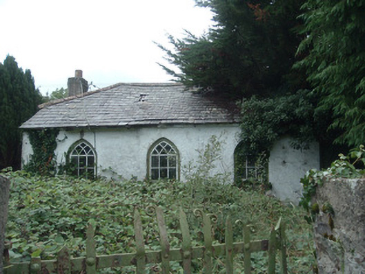 surgery/clinicsurgery/clinic · 520 yd
 Enclosure in GlantaneEnclosure · 665 yd
 Dromaneen CastleHeritage attraction · 1.6 mi
 Gurteenkreen Castle (Site of)Castle, unclassified · 3.4 mi
 In loving memory of Elvis O'DonoghueMemorial · 4.0 mi
 Mount HillaryMountain / peak · 4.2 mi
 Lohort CastleCastle, tower house · 4.2 mi
 Mount Hillary - Knightfield LoopWalking route · 4.7 mi
 Mount Hillary - Mount Hillary LoopWalking route · 4.8 mi
 Graveyard in Ballygiblin (duhallow By.)Graveyard · 5.3 mi