What is recorded here
No visible monument remains in Sluggary. The land has swallowed the fort, erased the boundary, and taken back the shape. What was built has been unmade. What was remembered has been forgotten. The fort is gone, but the forgoing is complete.
Situated in unused ground, c. 20m W of the Limerick-Tralee railway line. It is depicted on the 1840 OS 6-inch map as a circular enclosure (diam. c. 20m) but only an arch of the enclosing element is shown on the 1924 OS 6-inch map. This arc (C. 8m N-S) is now obscured by dense scrub vegetation and builder's rubble.
Compiled by: Denis Power
Date of upload: 27 March 2013
The monument record does not grant public access. Check the route and ask the landowner before entering private land.
- What survives
- Recorded monument
Places near here
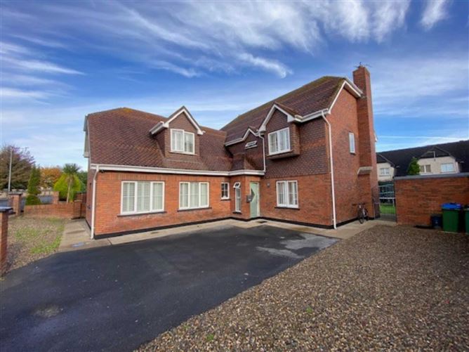 Enclosure in DooradoyleEnclosure · 1002 yd
 Fulacht fia in DooradoyleFulacht fia · 1028 yd
 Ballyclogh Househouse · 1208 yd
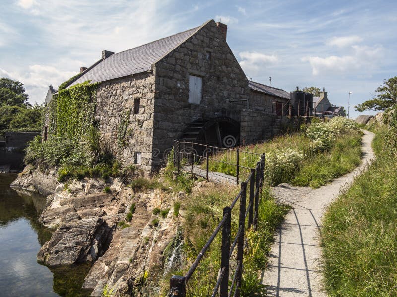 Shanwillen Old MillMill, unclassified · 1326 yd
 CastleCastle, unclassified · 1329 yd
 Castle (in ruins)Castle, tower house · 1.9 mi
 Fountain SculptureHeritage attraction · 4.4 mi
 Visitor CentreVisitor information · 4.4 mi
 Campus MapVisitor information · 4.4 mi
 Sailors HaggardMemorial · 5.0 mi
 Grass IslandIslet · 7.8 mi
 Maiden RockNamed rock · 8.1 mi