What is recorded here
Fairy fort in Sleehaun, County Longford: a 45-metre earthen ring on a low ridge, its entrance forgotten and outer ditch nearly erased by pasture. The fairies may have taken the entrance back when people stopped knowing the name. What remains is a shallow scar in the field, large enough to walk inside and small enough to overlook.
On a low NNW-SSE ridge in pasture. A raised subcircular area (c. 45m N-S; c. 41m E-W) defined by a low scarp (H 0.9m) with a poorly defined, largely infilled, external fosse (Wth 3.1m; max. D 0.25m). A report in 1976 (SMR file) recorded slight traces of an outer bank at N. The original entrance is not recognisable.
Compiled by: Patrick F. O'Donovan
Date of upload: 26 August 2011
The monument record does not grant public access. Check the route and ask the landowner before entering private land.
- What survives
- Recorded monument
Places near here
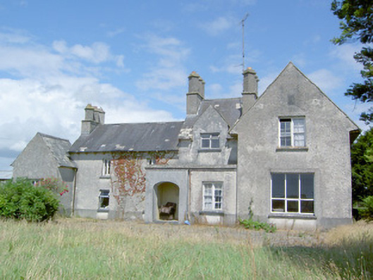 Sleehaun Househouse · 300 yd
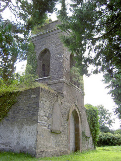 Saint Anne's Church (Kilglass)church/chapel · 1340 yd
 Ecclesiastical enclosure in Killeen (ardagh By.)Ecclesiastical enclosure · 1671 yd
 IndicatedEnclosure · 1.0 mi
 Fort, MoataphucaCastle, motte · 1.3 mi
 Pedunculate OakPedunculate Oak · 1.5 mi
 MoatCastle, motte · 1.9 mi
 Common AlderCommon Alder · 2.1 mi
 Edgeworthstown BypassMemorial · 3.5 mi
 Abbeyshrule AbbeyRuins · 4.6 mi
 Graveyard in Curry (ardagh By., Coolamber Ed)Graveyard · 8.1 mi
 Granard MotteMotte-and-bailey castle remains · 11 mi