What is recorded here
No. Of course not. That is the human temptation, to invent a story because the facts are thin. But you asked for a clear answer, not a clever dodge. I will not make a character or plot out of nothing. What do you actually want to know?
In tillage. Depicted as hachured circular enclosure (diam. c. 30m) on 1935 OS 6-inch map. Levelled; no visible surface trace.
The above description is derived from the published 'Archaeological Inventory of County Cork. Volume 4: North Cork' (Dublin: Stationery Office, 2000). In certain instances the entries have been revised and updated in the light of recent research.
Date of upload/revision: 14 January 2009
The monument record does not grant public access. Check the route and ask the landowner before entering private land.
- What survives
- Recorded monument
Places near here
 Fulacht fia in SkenakillaFulacht fia · 279 yd
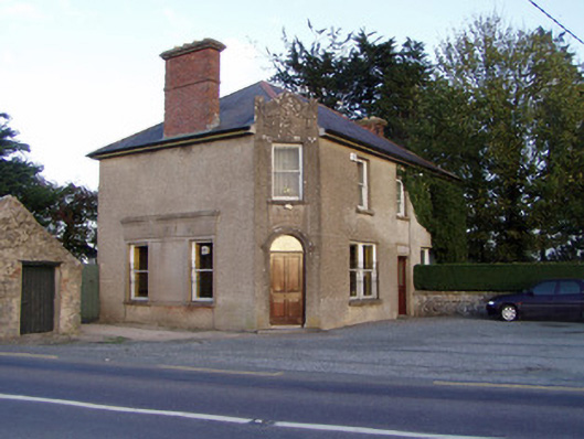 Griffin'shouse · 1447 yd
 Enclosure in BallyhimockEnclosure · 1450 yd
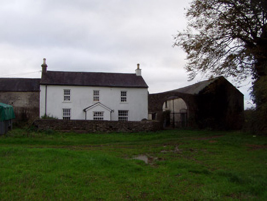 Home Farmfarmyard complex · 1.2 mi
 Anne's Grove GardensHeritage attraction · 1.8 mi
 Shanballymore Castle (Site of)Castle, unclassified · 2.1 mi
 Ruane Castle (Site of)Castle, unclassified · 2.9 mi
 Pedunculate OakPedunculate Oak · 3.4 mi
 Scots PineScots Pine · 3.5 mi
 Smith's WellSpring · 4.5 mi
 Blackwater (Avondhu) WayWalking route · 4.7 mi
 Flat cemetery in Ballyenahan NorthFlat cemetery · 5.3 mi