What is recorded here
Forty-seven metres of grass and memory stretch across the Galway plain, marking a home where people lived before the field boundary cut through its chest. The southern wall has nearly vanished, surrendering to time and forgetting, yet the northern scar still holds its shape against the sky. Fairy fort is a jealous name, but it fits the place because the boundary between human and phantom has always been thin in that grassland.
In undulating grassland. Poorly preserved subcircular rath (47m E-W; 43.5m N-S) defined by a
scarp. Traces of an external fosse, indicated by a band of vegetation, are visible from W through N to E. A field boundary cuts through the monument from E to W. To the S of it, the enclosing element is much more poorly defined.
Compiled by: Galway Archaeological Survey, UCG
Date of upload: 13 April 2018
The monument record does not grant public access. Check the route and ask the landowner before entering private land.
- What survives
- Recorded monument
Places near here
 Lissatogher FortsFairy fort / earthen ringfort · 363 yd
 site of R.C. ChapelChapel · 559 yd
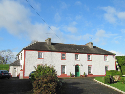 Raheen Househouse · 627 yd
 Skycur Househouse · 690 yd
 European YewEuropean Yew · 2.2 mi
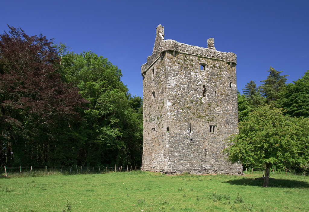
 Ballymore CastleCastle, tower house · 2.5 mi
 Silver FirSilver Fir · 2.5 mi
 MoatCastle, motte and bailey · 2.6 mi
 Redmond HillMountain / peak · 3.8 mi
 Ballymacegan IslandIsland · 6.1 mi
 The bloody HollowHeritage attraction · 6.1 mi
 Urraghry HillMountain / peak · 6.2 mi