What is recorded here
Located on the SE-facing slope of a drumlin. The cropmark of a circular enclosure (diam. c. 45m) defined by a fosse feature is eccentrically placed within a larger circular enclosure (diam. c. 60m) defined by a wide fosse feature (Wth c. 2-5m). It is visible only on Google Earth (29/06/2018), and an elongated enclosure (dims c. 60m N-S; c. 30m E-W) defined by a single fosse feature extends off to the NNW from the outer fosse at NW. It was first reported by Anthony Murphy.
See the attached view from Google Earth (29/06/2018)
Compiled by: Michael Moore
Date of upload: 11 June 2019
The monument record does not grant public access. Check the route and ask the landowner before entering private land.
- What survives
- Recorded monument
Places near here
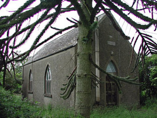 Siddan Hallchurch hall/parish hall · 664 yd
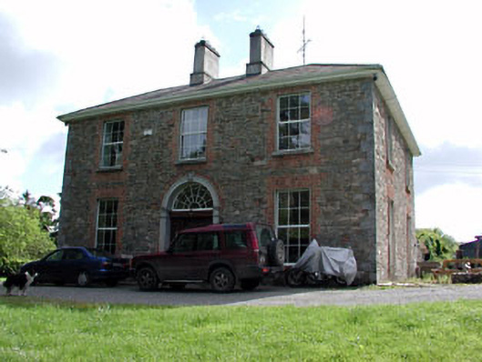 Siddan Househouse · 723 yd
 Cromwells BatteryFortification · 933 yd
 Gun HillMountain / peak · 941 yd
 Cromwell's BatteryArchaeological place · 950 yd
 Site of Siddan castleCastle, unclassified · 1120 yd
 Site of Old CastleCastle, unclassified · 1518 yd
 Drumran HillMountain / peak · 2.5 mi
 Headstown ForestForest · 3.5 mi
 Valley WoodWood · 3.6 mi
 Nobber GreenwayMemorial · 3.9 mi
 Sir Frederick Foster MemorialMemorial · 5.4 mi