What is recorded here
In wet pasture, on low rise of a gentle S-facing slope. Great views to S of mountain range. Circular area (dims. 20m NNE-SSW; 19m ESE-WNW) defined by bank (Wth 6.4m; int. H 0.15m; ext. H 0.75m) which is very overgrown with furze and briars WNW-E and SSE-S. Possible entrance (Wth 2.5m) at SW. Fosse (Wth 5.6m; D 0.2m) NNE-S-NW and is present but obscured by overgrowth SSE-NW and N-ENE.. Interior generally level and grass covered. Enclosure (TS066-53001-) is located c. 8m to WSW and enclosure (TS066-054----) is c. 200m to E. Field very undulating as land drained leaving numerous dry water channels.
Compiled by: Jean Farrelly
Date of upload: 26 August 2011
The monument record does not grant public access. Check the route and ask the landowner before entering private land.
- What survives
- Recorded monument
Places near here
 Enclosure in Shronell (bruis Par.)Enclosure · 311 yd
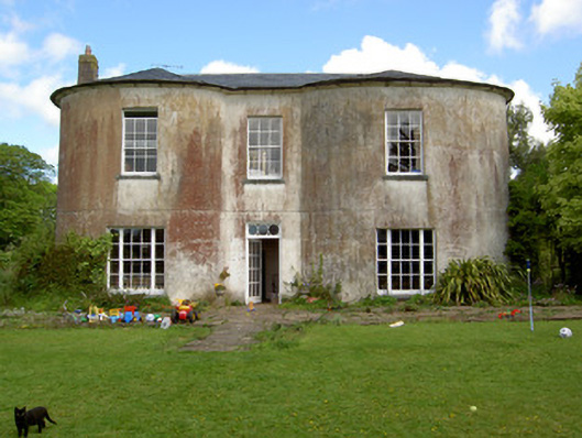 Shronell Househouse · 570 yd
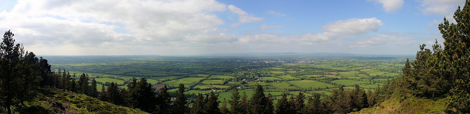 RathfaunEnclosure · 607 yd
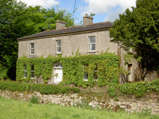 Damervillehouse · 827 yd
 CastleCastle, ringwork · 1305 yd
 MoatCastle, motte · 1.1 mi
 SlievenamuckMountain / peak · 2.7 mi
 Bansha ForestForest · 3.2 mi
 Carn (site of)Cairn, burial cairn · 4.3 mi
 Oola HillMountain / peak · 4.5 mi
 Darby's Bed Walk LoopWalking route · 4.9 mi
 Glengarra WoodWood · 6.0 mi