What is recorded here
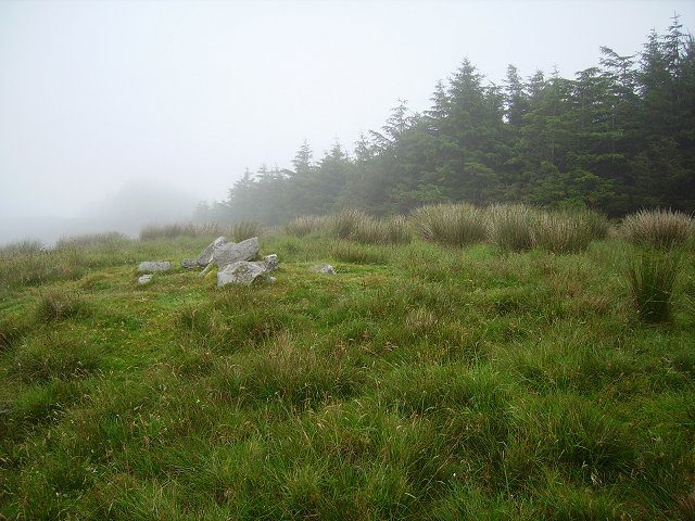
Mortons and Butlers both claimed Shronagree, yet the fort belonged to nobody visible. It is a circular scar twenty-four metres wide on a south-facing slope, half hidden in grass, with a low earthen bank and a shallow ditch that could have kept out wolves but not curiosity. The Butlers built a house beside it and probably treated the fort as a warning or a joke. Whatever it was, it stopped being a home before anyone wrote the name down.
In pasture, on S-facing slope. Heavily overgrown circular area (24.5m NNW-SSE) partially enclosed by earthen bank (H 1.1m) to NW and N; scarp elsewhere. External fosse (D 0.55m) to W and N.
The above description is derived from the published 'Archaeological Inventory of County Cork. Volume 1: West Cork' (Dublin: Stationery Office, 1992). In certain instances the entries have been revised and updated in the light of recent research.
Date of upload/revision: 14 January 2009
The monument record does not grant public access. Check the route and ask the landowner before entering private land.
- What survives
- Recorded monument
Places near here
 IndicatedMine, copper · 1190 yd
 Derrylahard EastMountain / peak · 1.2 mi
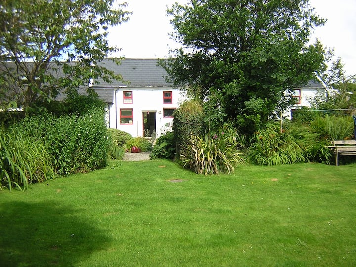 LissabogyFairy fort / earthen ringfort · 1.3 mi
 Barnageehy Loop WalkWalking route · 1.3 mi
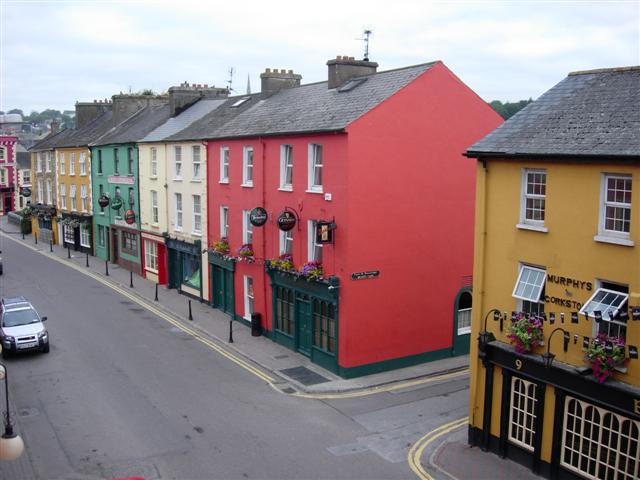 LissavoherFairy fort / earthen ringfort · 1.4 mi
 KnockaphukeenMountain / peak · 1.5 mi
 farm housefarm house · 1.7 mi
 Scart Castle (Site of)Castle, unclassified · 2.9 mi
 Danno O’Mahony statueMemorial · 3.3 mi
 Ballydehob's 3-Arch Road BridgeVisitor information · 3.3 mi
 Ballydehob Railway StationVisitor information · 3.3 mi
 Baugorm Castle (Site of)Castle, unclassified · 4.4 mi