What is recorded here
Situated on SE facing slope of a prominent hill with good views from NE-E-SW, overlooked by higher ground to NW. This site has been almost completely levelled. A sub-circular shaped area (approx. diam. 36m N-S; 41m E-W) enclosed by a two very low broad banks, an intervening fosse and an external fosse. The interior slopes slightly from NW-SE. A post-1837 field fence intersects the perimeter at NE. The S perimeter of the monument has been quarried away at S. This site is now situated in a coniferous forestry plantation which is visible on Digital Globe aerial photograph taken November 2011.
See attached profile of monument surveyed and drawn by the ASI.
Compiled by: Frank Coyne and Caimin O'Brien
Date of upload: 15 February 2018
The monument record does not grant public access. Check the route and ask the landowner before entering private land.
- What survives
- Recorded monument
Places near here
 Ancient Ring FortRuins · 853 yd
 Partially hachuredFairy fort / earthen ringfort · 888 yd
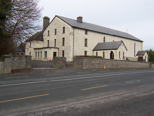 Catholic Church of the Assumptionchurch/chapel · 1125 yd
 Taghmon CastleCastle, tower house · 1.1 mi
 Rathcloghrin outlinedFairy fort / earthen ringfort · 1.2 mi
 KnockeyonMountain / peak · 2.0 mi
 Long PlantingForest · 2.4 mi
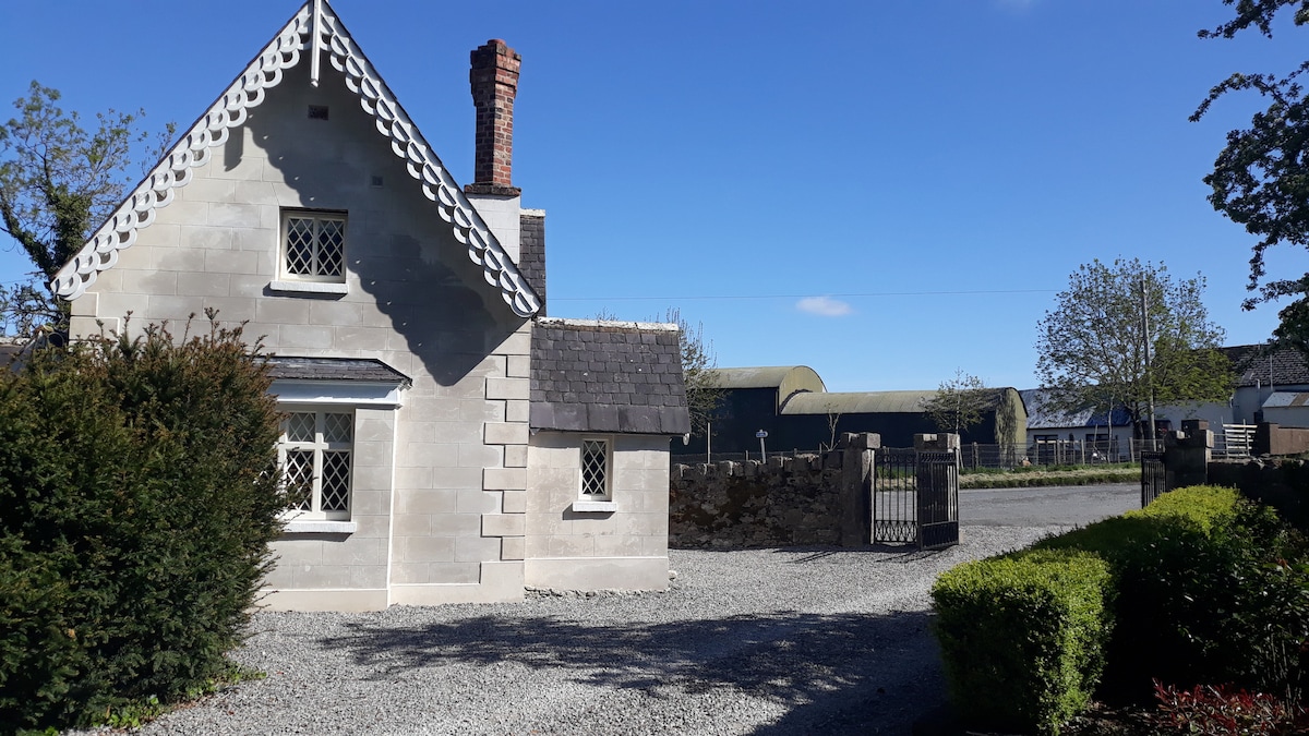 IndicatedCastle, tower house · 2.7 mi
 Scragh Bog Nature ReserveNature reserve · 3.0 mi
 Church IslandIsland · 3.7 mi
 Saint Brigid's WellSpring · 4.0 mi
 United Nations War MemorialMemorial · 4.6 mi