What is recorded here
Situated at the tip of a S-N spur. A circular embanked enclosure is depicted on the 1834 edition of the OS 6-inch map where it is described as a ‘Fort’, and is it depicted as a hachured feature on the 1907 edition. It is still extant and is most clearly visible as a circular grass-covered area (diam. c. 35m N-S; c. 30m E-W) on Google Earth (08/04/2015; 29/09/2015; 07/02/2019) defined by a small earthen bank that is most visible SW-W-NE.
Compiled by: Michael Moore
Date of upload; 28 February 2020
The monument record does not grant public access. Check the route and ask the landowner before entering private land.
- What survives
- Recorded monument
Places near here
 IndicaetdEnclosure · 796 yd
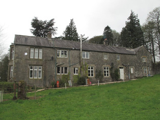 Mullaghmore Houseoutbuilding · 993 yd
 Western RedcedarWestern Redcedar · 1008 yd
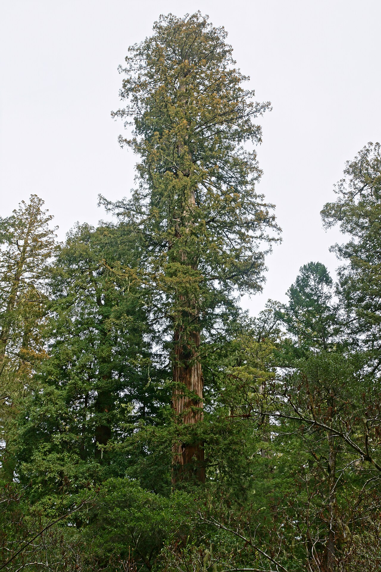 Coast RedwoodCoast Redwood · 1032 yd
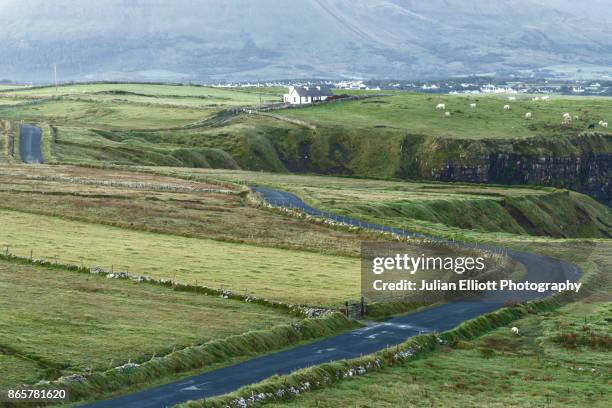 IndicatedCrannog · 1311 yd
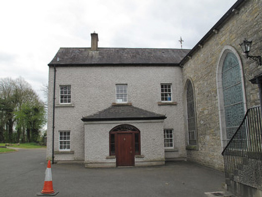 Saint Mary's Catholic Churchpresbytery/parochial/curate's house · 1.2 mi
 Sliabh Beagh Hotel and Tourism CentreVisitor information · 3.3 mi
 Rough HillMountain / peak · 3.8 mi
 EshmoreMountain / peak · 4.4 mi
 Monaghan County MuseumMuseum · 4.6 mi
 Rossmore MonumentMemorial · 4.7 mi
 Bawn in Roosky (monaghan By., Monaghan Par.)Bawn · 4.7 mi