What is recorded here
On a gentle rise in pasture, adjacent to a stream. Depicted as a circular enclosure on the 1837 edition of the OS 6-inch map but not marked on the 1940 edition. There are no remains visible at ground level.
Compiled by: Patrick F. O'Donovan
Date of upload: 21 April 2011
The monument record does not grant public access. Check the route and ask the landowner before entering private land.
- What survives
- Recorded monument
Places near here
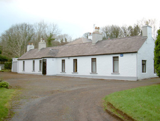 Fort Louishouse · 570 yd
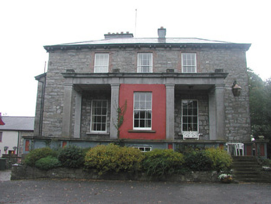 Mountshannon Housecountry house · 645 yd
 Fortification in LisnalurgFortification · 751 yd
 Fortification in RathquarterFortification · 1079 yd
 European BeechEuropean Beech · 1135 yd
 Famine MemorialMonument · 1454 yd
 Model Niland GalleryHeritage attraction · 1520 yd
 CastleCastle, Anglo-Norman masonry castle · 1537 yd
 Sligo Masonic HallMemorial · 1562 yd
 Discover IrelandVisitor information · 1651 yd
 SligoVisitor information · 1661 yd
 Sligo AbbeyHeritage attraction · 1759 yd