What is recorded here
Fairy fort in Shanlis: a circular earthen enclosure on a gentle slope beside the Corkey River, with two ditch lines marking a wide outer ring and a smaller inner space. People may have lived, hidden, or worshipped there before the fields changed, while local stories may have called the same shape a fairy fort because its purpose became unclear. The river, slope, and surviving circular lines still point to a place where human life and imagination both belonged.
Situated on a gentle W-facing slope c. 100m E of a S-N section of the Corkey River, which forms the boundary with Co. Meath. The cropmark of an enclosure defined by two fosse features (int. diam. c. 25m; ext. diam. c. 50m) is visible on Google Earth images (2013) and also on Bing images (c. 2013). The monument is also partially visible on OSi images (1995, 2000), and was first identified by Tom Condit. It is also visible on Google Earth (29/06/2021).
See the attached view from Google Earth
Compiled by: Michael Moore
Date of upload: 26 May, 2017
Amended: 11 October 2021
The monument record does not grant public access. Check the route and ask the landowner before entering private land.
- What survives
- Recorded monument
Places near here
 Enclosure in ShanlisEnclosure · 224 yd
 mill (water)mill (water) · 235 yd
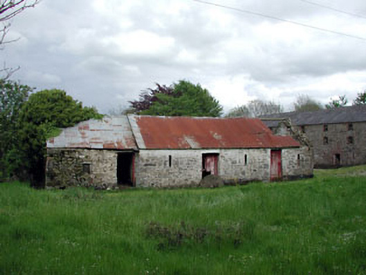 outbuildingoutbuilding · 254 yd
 Screedoge HillMountain / peak · 558 yd
 Enclosure in MandistownEnclosure · 1333 yd
 CastleCastle, unclassified · 1.0 mi
 Valley WoodWood · 1.6 mi
 Yellow HillMountain / peak · 1.9 mi
 European White ElmEuropean White Elm · 2.3 mi
 Site of Old CastleCastle, unclassified · 2.6 mi
 Sir Frederick Foster MemorialMemorial · 2.7 mi
 Graveyard in StickillinGraveyard · 4.0 mi