What is recorded here
Fairy fort in Shangarry, County Galway: a circular rath about 35m across, set on a rise above low pastureland. Its tree-lined bank still stands in fair condition, with a causewayed entrance gap at ENE and field-clearance rubble dumped along the outer face from ENE to ESE. No fosse shows now, but an L-shaped depression in the SSW interior may mark a man-made underground passage. The name gives it a fairy edge, yet the shape is plainly human-made: a defended or ceremonial ring, exposed and altered by centuries of farming.
On a rise in low-lying pastureland. This circular rath (diam. c. 35m), in fair condition, is defined
by a tree-lined bank. From ENE to ESE some field-clearance material has been dumped against it outer face. No visible trace of the fosse is evident. There is a causewayed entrance gap at ENE. An L-shaped depression in the SSW sector of the interior may mark the site of a Man-made underground passage (GA106-150----).
Compiled by: Galway Archaeological Survey, UCG
Date of upload: 12 April 2018
This remains an important historical record, but the official description says the monument is no longer visible or has been destroyed. The monument record does not grant public access. Check the route and ask the landowner before entering private land.
- What survives
- No visible remains or recorded as destroyed
Places near here
 ‘Dogs Fort’Fairy fort / earthen ringfort · 352 yd
 Ballyfintan FortFairy fort / earthen ringfort · 573 yd
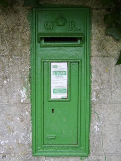 post boxpost box · 1065 yd
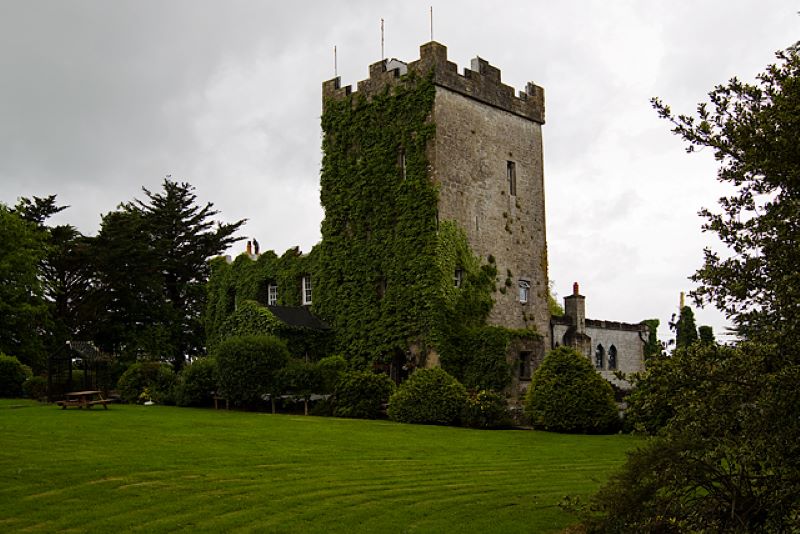 CastleCastle, unclassified · 1138 yd
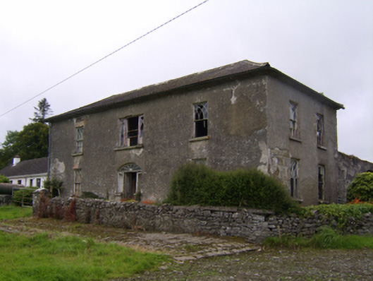 Streamstown Househouse · 1277 yd
 Streamstown Castle (in ruins)Castle, unclassified · 1.2 mi
 Quarryhill WoodWood · 3.8 mi
 Dartfield Horse MuseumHeritage attraction · 3.8 mi
 Bog WoodForest · 4.3 mi
 Battle of AughrimMajor battlefield · 8.7 mi
 The bloody HollowHeritage attraction · 8.8 mi
 Battle of Aughrim Interpretative CentreMuseum · 9.1 mi