What is recorded here
Shangarry lost its fairy fort in the 1940s when men levelled a thirty-metre ring of earth and stone into ordinary grass. The place still carries the shape of what it swallowed.
On a rise in otherwise level grassland. Marked on the OS 6-inch maps as a circular enclosure (diam. c. 30m). According to local information, the monument was defined by a ‘ring of earth and stone’. It was levelled in the 1940s; no visible surface trace survives.
Compiled by: Galway Archaeological Survey, UCG
Date of upload: 18 June 2019
The monument record does not grant public access. Check the route and ask the landowner before entering private land.
- What survives
- Recorded monument
Places near here
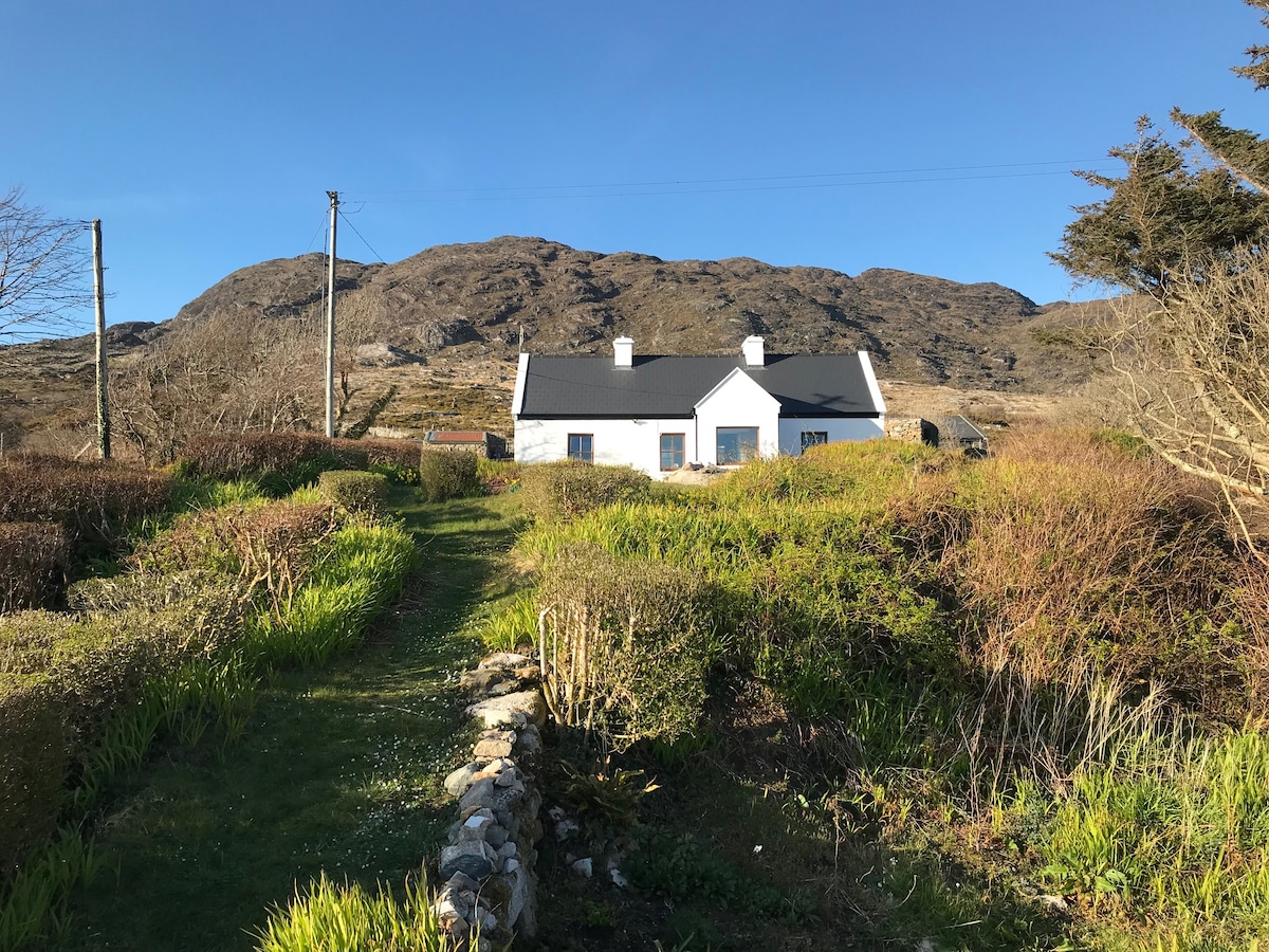 ‘Dogs Fort’Fairy fort / earthen ringfort · 646 yd
 Ballyfintan FortFairy fort / earthen ringfort · 920 yd
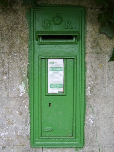 post boxpost box · 1055 yd
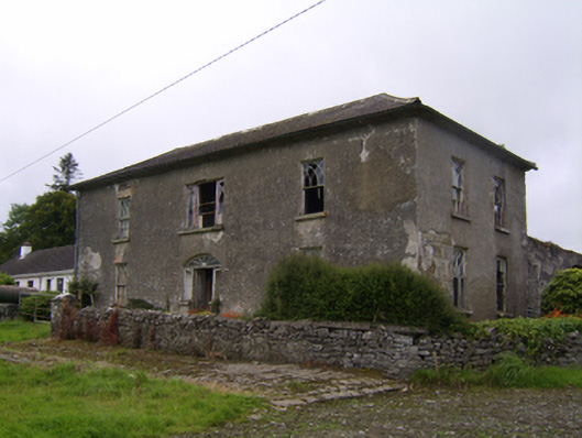 Streamstown Househouse · 1352 yd
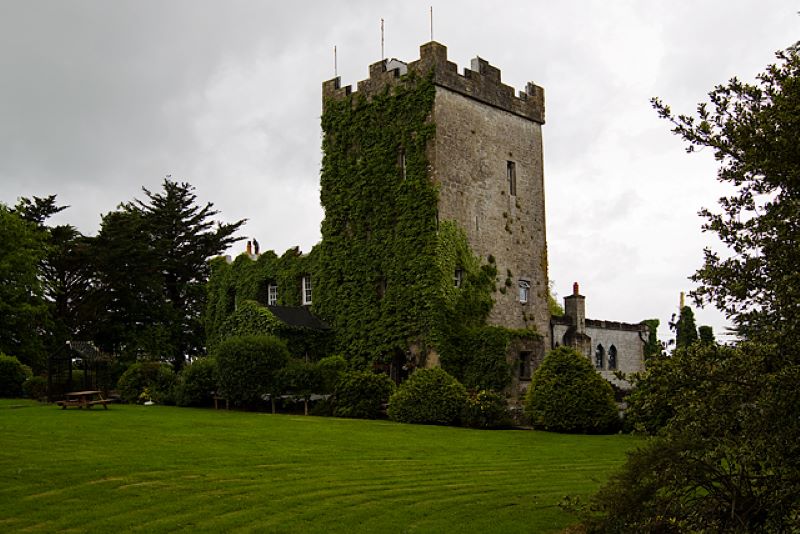 CastleCastle, unclassified · 1505 yd
 Streamstown Castle (in ruins)Castle, unclassified · 1.4 mi
 Dartfield Horse MuseumHeritage attraction · 3.5 mi
 Quarryhill WoodWood · 4.1 mi
 Bog WoodForest · 4.6 mi
 Battle of AughrimMajor battlefield · 8.7 mi
 The bloody HollowHeritage attraction · 8.8 mi
 Battle of Aughrim Interpretative CentreMuseum · 9.0 mi