What is recorded here
Garland’s Fort in Shancobane is an earthen ringfort on a drumlin crest, its broad bank and shallow ditch still shaping the grass into a rough circle. The causeway at the east suggests people once entered deliberately, perhaps to trade, hide, or simply belong somewhere the land had already marked. Nearby, another rath waits a short distance away, as if the hillside held more than one claim. The fort does not need fairy stories to seem strange; it is strange enough in the way it remains visible, touched, and unfinished.
Located at the crest of the S-facing slope of a drumlin, and known locally as ‘Garland’s Fort’. This is a subcircular grass and scrub-covered area (dims 36m N-S; 30.8m E-W) defined by an earthen bank (Wth 6-9m; int. H 0.6m; ext. H 2.5-3m) separated by a fosse (Wth of base 1-1,2m; ext. D 0.3-0.9m) from a slight counterscarp bank (Wth 2-3m; ext. H 0.2-0.4m) that survives S-W-NNE. There are gaps in the inner bank at NNE and ESE; the latter (Wth of base 2m) with a causeway is probably the original entrance. The entrance to Man-made underground passage (MO028-139002-) is visible NW of the centre. Rath (MO032-001----) is c. 180m to the ESE.
The above description is derived from the published 'Archaeological Inventory of County Monaghan' (Dublin: Stationery Office, 1986). In certain instances the entries have been revised and updated in the light of recent research.
Date of revision: 28 July 2017
The monument record does not grant public access. Check the route and ask the landowner before entering private land.
- What survives
- Recorded monument
Places near here
 Not indicaetdMan-made underground passage · 766 yd
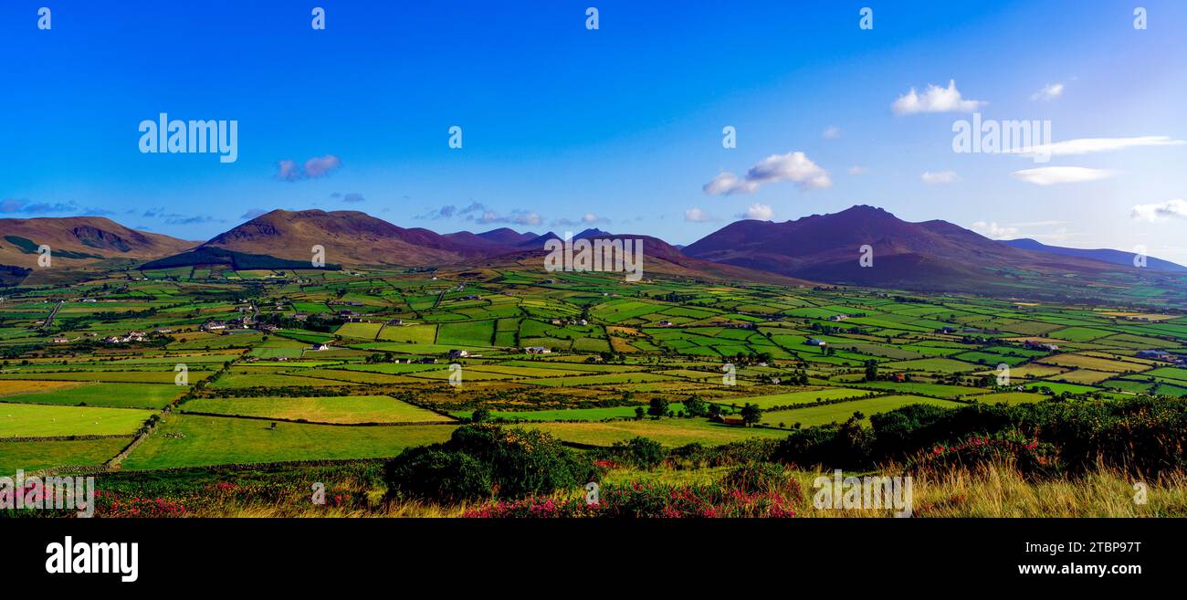 Man-made underground passage in MomonyMan-made underground passage · 770 yd
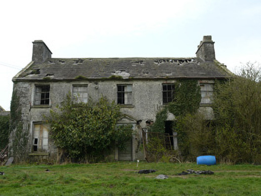 Rocksavagecountry house · 1171 yd
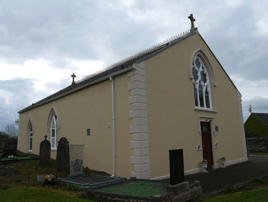 Saint Anne's Catholic Churchchurch/chapel · 1653 yd
 Mannan Castle (in ruins)Castle, Anglo-Norman masonry castle · 3.0 mi
 TobernagalliaghSpring · 4.3 mi
 Horse-chestnutHorse-chestnut · 4.4 mi
 MoatCastle, motte · 4.7 mi
 KnockreaghMountain / peak · 4.8 mi
 European BeechEuropean Beech · 4.9 mi
:no_upscale()/cdn.vox-cdn.com/uploads/chorus_asset/file/25593391/County_Louth_6th.jpg) LouthMountain / peak · 5.3 mi
LouthMountain / peak · 5.3 mi Ballsmill Amenity LandPicnic place · 7.0 mi