What is recorded here
Fairy fort / earthen ringfort in Shanagolden Demesne stands in pasture on a south-facing slope, its earthen bank rising 1.8m around a circular area 20.5m wide. The entrance faces SSE, the interior slopes downward, and a drain skirts the outside base before feeding a watercourse downhill. Cattle may still walk the pasture above it, unaware that the bank marks an old boundary between human fields and something older. The marsh at SSW helped preserve the ridge, while the SE edge wore flat under weather and use.
In pasture, on S-facing slope. Circular area (20.5m N-S; 19.6m E-W) enclosed by earthen bank (int. H 1.8m; ext. H 1.8m). Bank, best preserved at SSW where it borders marshy area, becomes scarp-like at SE (int. H 0.05m; ext. H 0.8m). Bank abutted by field boundaries at WNW and NNW. Entrance at SSE (Wth 3.7m). Interior, under pasture, slopes down to SSE. A drain skirts around external base of bank SSW->NNW, feeding into watercourse which snakes off downhill to SSE.
Compiled by: Denis Power
Date of upload: 26 August 2011
The monument record does not grant public access. Check the route and ask the landowner before entering private land.
- What survives
- Recorded monument
Places near here
 Enclosure in Shanagolden DemesneEnclosure · 138 yd
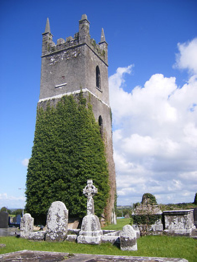 Shanagolden Churchchurch/chapel · 935 yd
 Holy well in Shanagolden DemesneHoly well · 946 yd
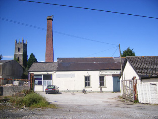 Shanagolden Creamerycreamery, chimney · 998 yd
 Robertstown Castle (in ruins)Castle, tower house · 1.6 mi
 Castle (Site of)Castle, unclassified · 1.8 mi
 Foynes Flying Boat & Maritime MuseumMuseum · 2.0 mi
 Foynes Island ViewpointViewpoint · 2.2 mi
 Gammarel PointHeadland · 2.5 mi
 Monterey CypressMonterey Cypress · 2.5 mi
 Foynes IslandIsland · 2.7 mi
 Battery PointHeadland · 2.8 mi