What is recorded here
Fairy fort in Shanaghobarravane: an earthen ringfort on a south-facing slope in County Cork, recorded as a circular enclosure on the 1842 Ordnance Survey map. Its remaining bank rises about one metre from the south to west-southwest, while rubble mounds and cultivation ridges have cut through the interior since people stopped living there or stopped keeping its shape clear. The name suggests locals once believed the circle belonged to fairies rather than humans, as if the land itself had claimed back what farming and forgetting had broken open.
In tillage, on S-facing slope. Shown as circular enclosure on O.S. 1st ed. map (1842). Arc formed by earthen bank (H 1.05m) S->WSW. SW quarter of interior covered by large mounds of dumped rubble; SE quarter crossed by cultivation ridges.
The above description is derived from the published 'Archaeological Inventory of County Cork. Volume 1: West Cork' (Dublin: Stationery Office, 1992). In certain instances the entries have been revised and updated in the light of recent research.
Date of upload/revision: 14 January 2009
The monument record does not grant public access. Check the route and ask the landowner before entering private land.
- What survives
- Recorded monument
Places near here
 Burial Gd (Disused)Burial ground · 800 yd
 Settlement cluster in BallymacshoneenSettlement cluster · 1127 yd
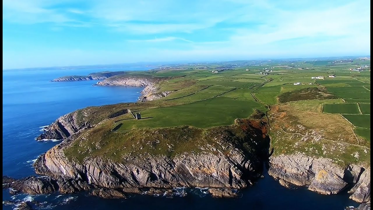 Seven Heads PeninsulaViewpoint · 1270 yd
 signal towersignal tower · 1270 yd
 IndicatedQuarry · 1358 yd
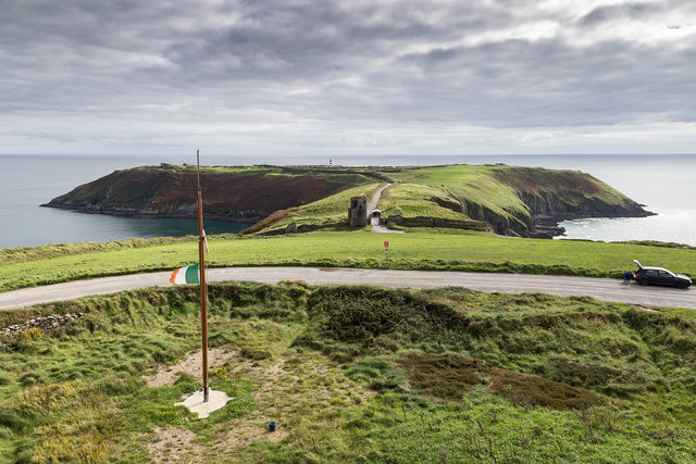 Signal Tower ViewViewpoint · 1613 yd
 Dunworly CastleCastle · 2.0 mi
 Dunworly PointHeadland · 2.0 mi
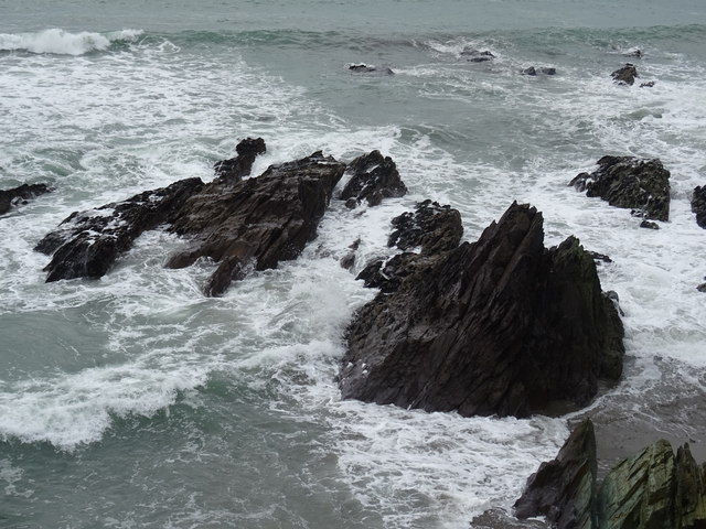 Dunworly BeachBeach / strand · 2.0 mi
 HDS walk Coolim CliffsHeritage attraction · 2.1 mi
 Blind StrandBeach / strand · 2.2 mi
 Lislee Court (Site of)Castle, unclassified · 2.3 mi