What is recorded here
You need a strong clear anchor and a visible change. Use the facts already given. Keep the story local and practical.
Raised circular area (int. diam. c. 34m) enclosed by a substantial earthen bank and a fosse identifiable from S-W-E. An apparently modern, low counterscarp bank encircles the fosse. Break in bank at ESE probably represents original entrance. Projecting from the inner face of the bank at NW is a rectangular area (int. dims. 7m N-S; 3.5m E-W) enclosed by a low earthen bank which presumably represents a hut site. Break in bank at E represents original entrance to the structure.
The above description is derived from the published 'Archaeological Inventory of County Cavan' (Dublin: Stationery Office, 1995). In certain instances the entries have been revised and updated in the light of recent research.
Date of upload/revision: 22 December 2008
The monument record does not grant public access. Check the route and ask the landowner before entering private land.
- What survives
- Recorded monument
Places near here
 Cornaglare or PalmiraMountain / peak · 1027 yd
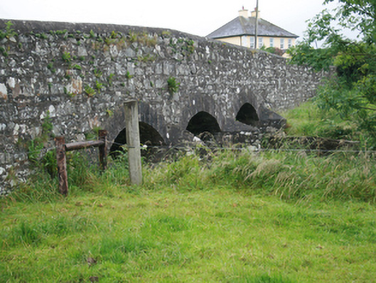 Corlat Bridgebridge · 1.0 mi
 Enclosure in KilleterEnclosure · 1.0 mi
 Hilltop enclosure in CrossbaneHilltop enclosure · 1.1 mi
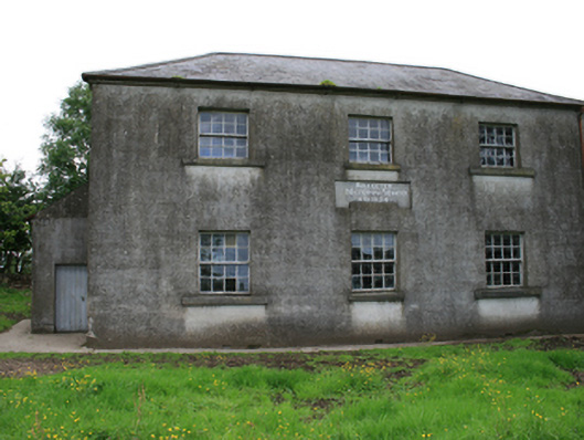 Killeter National Schoolschool · 1.1 mi
 Sit of Old CastleCastle, unclassified · 1.5 mi
 MoatCastle, motte and bailey · 2.1 mi
 Crow IslandIslet · 2.4 mi
 Sally IslandIslet · 2.4 mi
 CarnagarveMountain / peak · 2.4 mi
 Tullynaskeagh WestForest · 2.7 mi
 Cloghballybeg ForestForest · 2.8 mi