What is recorded here
Fairy fort in Screeboge, County Longford, is a 32-metre earthen ring on a pasture slope, partly banked and partly cut by a natural scarp. Its shallow fosse and broken entrance suggest people shaped the land before memory faded. The missing outer bank may have been buried, removed or simply forgotten, leaving behind a circle large enough to hold lives but faint enough to dismiss.
On a NE-facing slope in pasture. A raised circular area (diam. c. 32m) enclosed from SE-S-WSW by a low bank of earth and stone (Wth 2.4m; H 0.2m) with a shallow external fosse (Wth 2m; D 0.2m) and elsewhere defined by a naturally occurring scarp. A report in 1976 (SMR file) recorded an outer bank, which is no longer visible at ground level. A break (Wth 3m) in the bank at SSE may mark the original entrance.
Compiled by: Patrick F. O'Donovan
Date of upload: 26 August 2011
The monument record does not grant public access. Check the route and ask the landowner before entering private land.
- What survives
- Recorded monument
Places near here
 CastleCastle, motte · 243 yd
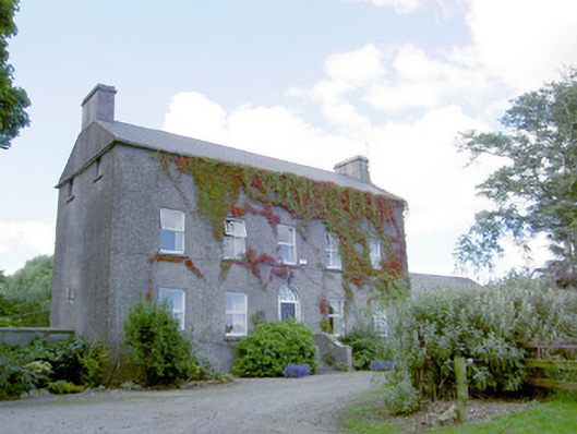 Richmount Hillhouse · 296 yd
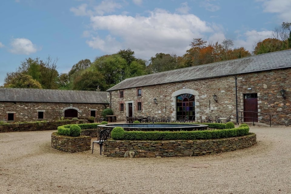 Enclosure in BallybegEnclosure · 385 yd
 IndicatedFairy fort / earthen ringfort · 1140 yd
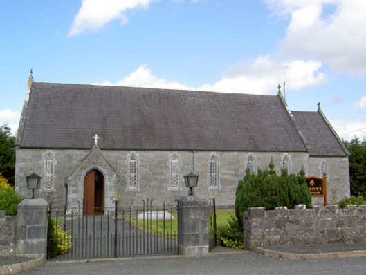 Saint Anne's Catholic Churchchurch/chapel · 1.4 mi
 DoonphilipCastle, motte · 1.8 mi
 National Famine WayWalking route · 3.3 mi
 Common LimeCommon Lime · 3.8 mi
 Abbeyshrule AbbeyRuins · 3.8 mi
 Goldsmith Birthplace, PallasVisitor information · 4.3 mi
 Newcastle WoodsForest · 4.5 mi
 Target WoodWood · 4.7 mi