What is recorded here
Fairy fort / earthen ringfort in Scraggeen is a fairy fort or earthen ringfort in Scraggeen, County Tipperary, Ireland. It occupies a low hillock in an upland area, with another ringfort to the north. A circular area 25 metres wide from north to south is enclosed by a poorly preserved earth and stone bank 1 metre wide and 0.25 metres high. The bank is totally destroyed in places, especially from southeast to south and at north-northwest, while no visible fosse or entrance feature appears.
Situated on a low hillock in an upland area with a nearby ringfort (TN037-027) to the N. A poorly preserved ringfort consisting of a circular area (diam. 25m N-S) enclosed by a poorly preserved earth and stone bank (Wth 1m; H 0.25m) which is totally destroyed in places especially from SE to S and at NNW. No visible fosse or entrance feature.
The above description is derived from 'The Archaeological Inventory of County Tipperary. Vol. 1 - North Tipperary' compiled by Jean Farrelly and Caimin O'Brien (Dublin: Stationery Office, 2002). In certain instances the entries have been revised and updated in the light of recent research.
Date of upload/revision: 22 September 2008
The monument record does not grant public access. Check the route and ask the landowner before entering private land.
- What survives
- Recorded monument
Places near here
 Outlined, KnockaunnamoughillyEnclosure, large enclosure · 723 yd
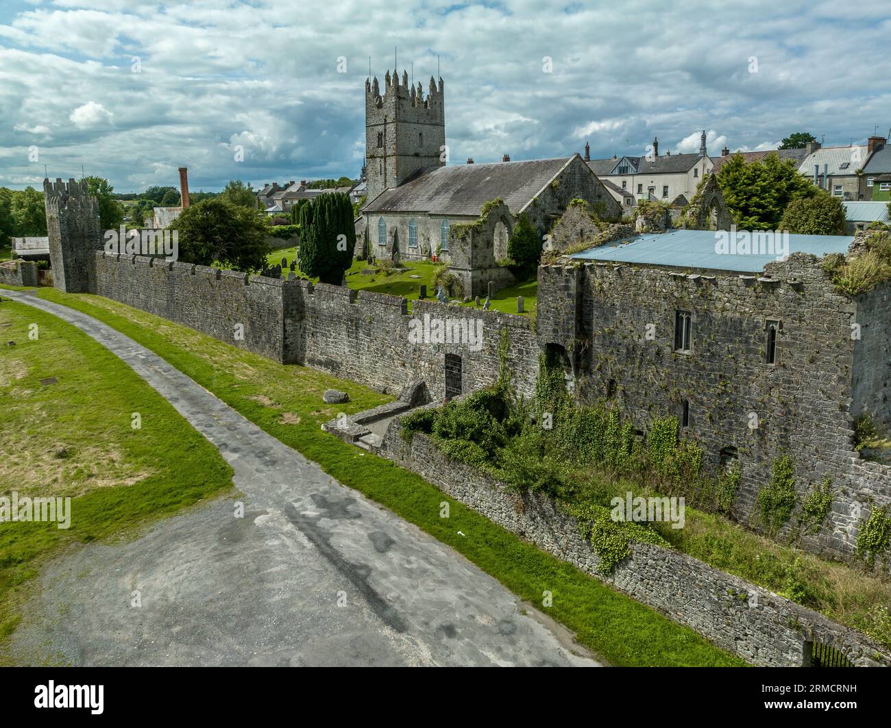 IndicatedEnclosure · 1171 yd
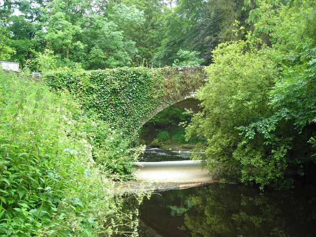 Clare Bridgebridge · 1.2 mi
 Site of Derryleigh CastleCastle, unclassified · 1.3 mi
 Wall monument (present location) in Boarmanshill,garranbaneWall monument (present location) · 1.7 mi
 Castle WellerCastle · 1.8 mi
 Slieve Felim WayWalking route · 2.3 mi
 Slieve FelimMountain / peak · 2.8 mi
 Sliev Felim WayVisitor information · 2.9 mi
 Slieve Felim East TopMountain / peak · 3.9 mi
 Graveyard in AbingtonGraveyard · 4.4 mi
 Ballyhourigan WoodsForest · 5.0 mi