What is recorded here
Fairy forts are not places for children. They are cages built by men who feared the dark and wanted it to obey. Scart is no exception. Its ring may have been a boundary, a trap or a warning, but the purpose was the same: keep the unknown out. The facts remove the magic; they do not explain why people built rings at all.
In tillage, on gentle SW-facing slope. Depicted on 1842, 1905 and 1936 OS 6-inch maps as hachured circular enclosure (diam. c. 35m). According to local information, levelled c. 1979. Low rise remains, indicating line of bank. Circular enclosure visible as soilmark of bank in aerial photograph (CASAP, taken in 1985); and as bivallate circular enclosure visible as cropmark of fosses in aerial photograph (CASAP July 1984).
The above description is derived from the published 'Archaeological Inventory of County Cork. Volume 4: North Cork' (Dublin: Stationery Office, 2000). In certain instances the entries have been revised and updated in the light of recent research.
Date of upload/revision: 14 January 2009
The monument record does not grant public access. Check the route and ask the landowner before entering private land.
- What survives
- Recorded monument
Places near here
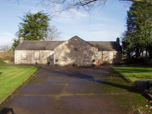 schoolschool · 511 yd
 Flat cemetery in Ballyenahan NorthFlat cemetery · 871 yd
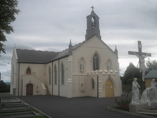 Saint Bartholomew’s Churchchurch/chapel · 888 yd
 Ballyenehan Castle (Site of)Castle, unclassified · 968 yd
 Mass-rock in FarahyMass-rock · 1382 yd
 Castletown Castle (Site of)Castle, unclassified · 1.1 mi
 WeirWeir, regulating · 1.2 mi
 North Meadow WoodForest · 2.0 mi
 Horse Field WoodForest · 2.1 mi
 Anne's Grove GardensHeritage attraction · 3.6 mi
 CarrigeenamronetyMountain / peak · 4.0 mi
 Graveyard in BoherashGraveyard · 4.3 mi