What is recorded here
Fairy fort in Scarriff, County Cork: a 47-metre earthen ring, 2.4 metres high, with a stone-faced bank and a silted ditch outside. Its broad south-east gap faces the slope like an invitation, not a failure. People may have entered there to trade, worship, argue or leave gifts for the fairies; the earth has kept the shape while forgetting the names.
In pasture, on E-facing slope. Circular area (46.8m N-S; 47.2m E-W) enclosed by earthen bank (H 2.4m), stone-faced in parts; silted-up external fosse survives. Gap in bank to SE (Wth 10m).
The above description is derived from the published 'Archaeological Inventory of County Cork. Volume 1: West Cork' (Dublin: Stationery Office, 1992). In certain instances the entries have been revised and updated in the light of recent research.
Date of upload/revision: 14 January 2009
The monument record does not grant public access. Check the route and ask the landowner before entering private land.
- What survives
- Recorded monument
Places near here
 Man-made underground passage in Kilbarry (kinalmeaky By.)Man-made underground passage · 643 yd
 Mount Pleasant Schoolschool · 1461 yd
 Fulacht FianFulacht fia · 1633 yd
 Towers (in Ruins)House, fortified house · 1.1 mi
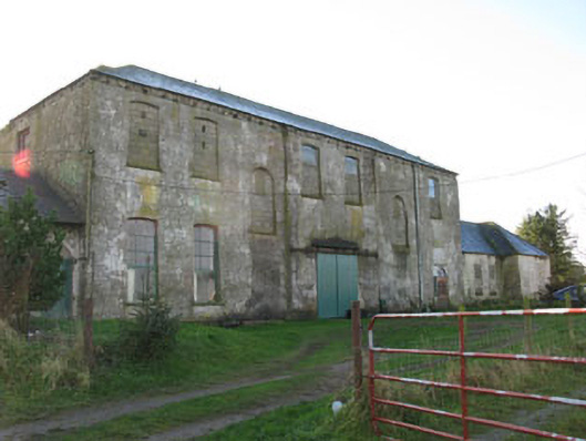 Mount Pleasantcountry house · 1.3 mi
 Mount Pleasant WoodWood · 1.4 mi
 Michael Collins MemorialMemorial · 2.3 mi
 Clodah CastleCastle · 2.8 mi
 Pedunculate OakPedunculate Oak · 3.6 mi
 Independence MuseumMuseum · 4.2 mi
 Green HillMountain / peak · 4.3 mi
 Kilmurry WoodsPicnic place · 4.5 mi