What is recorded here
Sallaghill's lost fort hides beneath dense green growth where two streams meet, its earth forgotten by human memory but perhaps still shaped by unseen hands. The fort appears on old maps yet resists inspection, as if the land itself withdraws it from ordinary sight. It may have been a boundary marker, a seasonal camp, or a place where the visible and invisible worlds overlapped. Whatever it was, it stopped being human property and became a living feature of the landscape, changing with water, rot and rebirth instead of waiting to be described.
Marked 'Fort' on OS 1836 and 1876 eds. Located at the confluence of two streams in level, low-lying ground. Site is densely overgrown with vegetation rendering inspection impossible.
The above description is derived from the published 'Archaeological Inventory of County Cavan' (Dublin: Stationery Office, 1995). In certain instances the entries have been revised and updated in the light of recent research.
Date of upload/revision: 22 December 2008
A fairy fort or earthen ringfort in Sallaghill, likely dating to the early medieval period, is marked as 'Fort' on Ordnance Survey maps from 1836 and 1876. Situated at the confluence of two streams, the site is traditionally associated with local folklore surrounding fairies and other supernatural beings, common to many such forts in Irish tradition.
The monument record does not grant public access. Check the route and ask the landowner before entering private land.
- What survives
- Recorded monument
Places near here
 Church in CrosserloughChurch · 1213 yd
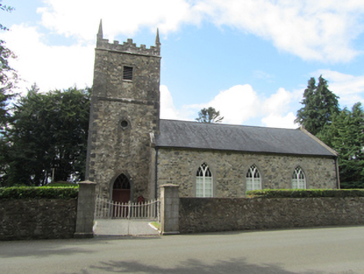 St Patrick’s Church Kildrumfertonchurch/chapel · 1227 yd
 Portal tomb in CarrickacroyPortal tomb · 1319 yd
 Enclosure in MullacastleEnclosure · 1363 yd
 Bawn in DuffcastleBawn · 1.1 mi
 Giant's GraveArchaeological place · 1.8 mi
 Deer ParkWood · 2.3 mi
 Derry ForestForest · 2.3 mi
 Ardkill MoreMountain / peak · 2.8 mi
 CarrickatoberMountain / peak · 3.2 mi
 1940 PloughMemorial · 4.1 mi
 The GPO ExhibitionMuseum · 4.3 mi