
What is recorded here
Located on a knoll towards the top of a W-facing slope. This is the parish church of Crosserlough parish, known as Kildrumferton during the Middle Ages when a portion of its tithes were impropriate to the Benedictine abbey of Fore (WM004-035010-) (Kelly 2017, 76). It is identified as the church of SS Patrick Carhac and St Bridget with references in 1422 and 1425 (Davies 1948, 81). The outline of a rectangular structure (int. dims 19.2m E-W; 7m N-S) in interrupted sections of low grass-covered walls (Wth 0.9m; max. H 0.6m) can barely be discerned within a circular graveyard (diam. c. 54m NE-SW; c. 50m NW-SE). The graveyard is defined by a drystone wall (at E: Wth 1m; int. H 0.6m; ext. H 1.4m) with mature deciduous trees and material accumulated against its inner face. A masonry wall retains the rising mound of the neglected graveyard along the roadside SW-NW. There are relatively few headstones, dating largely to the nineteenth and early twentieth centuries.
The above description is derived from the published 'Archaeological Inventory of County Cavan' (Dublin: Stationery Office, 1995). In certain instances the entries have been revised and updated in the light of recent research.
Date of upload: 22 December 2008
Revised by: Michael Moore
Date of revised upload: 16 March 2020
A local church or high cross; wider significance not recorded.
The monument record does not grant public access. Check the route and ask the landowner before entering private land.
- What survives
- Recorded monument
Places near here
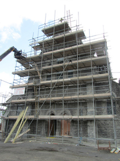 St Mary’s Roman Catholic Churchchurch/chapel · 235 yd
 Portal tomb in DuffcastlePortal tomb · 821 yd
 Portal tomb in CarrickacroyPortal tomb · 1045 yd
 Bawn in DuffcastleBawn · 1065 yd
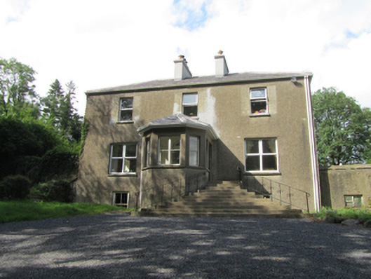 The Rectoryrectory/glebe/vicarage/curate's house · 1083 yd
 Deer ParkWood · 2.2 mi
 Giant's GraveArchaeological place · 2.5 mi
 Derry ForestForest · 2.8 mi
 CarrickatoberMountain / peak · 3.3 mi
 1940 PloughMemorial · 3.4 mi
 Ardkill MoreMountain / peak · 3.5 mi
 The GPO ExhibitionMuseum · 3.7 mi
Other information
Photo: Credit not shown in the picture search · Rights wording not checked; contact us if this picture should be removed