What is recorded here
Scrabby Ed and I walked into Sallaghan to test the fort's edges. The wide waterlogged fosse swallowed light and echoed back only when we stopped speaking. Inside the circular bank, the air tightened around us like a living thing remembering an old name. We left through the southeast gap before the earth finished deciding what it wanted to keep.
Raised circular area (int. diam. 41.1m) enclosed a very wide, deep, waterlogged fosse and substantial earthen bank. Fragmentary traces of a low counterscarp bank identifiable at the outer lip of the fosse from S-SW-N. Fosse absent from N-NNE. Original entrance at SE.
The above description is derived from the published 'Archaeological Inventory of County Cavan' (Dublin: Stationery Office, 1995). In certain instances the entries have been revised and updated in the light of recent research.
Date of upload/revision: 22 December 2008
The monument record does not grant public access. Check the route and ask the landowner before entering private land.
- What survives
- Recorded monument
Places near here
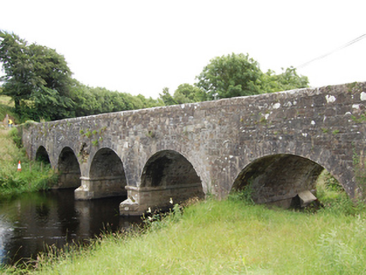 Sallaghan Bridgebridge · 992 yd
 Dingins Bridgebridge · 1.1 mi
 Scrabby Hill FortArchaeological place · 1.1 mi
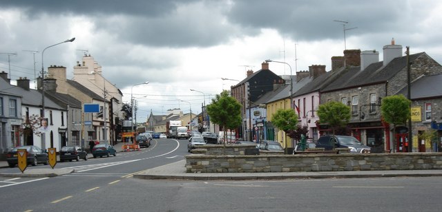 AghaveansMountain / peak · 1.2 mi
 Pottle WoodlandWood · 1.3 mi
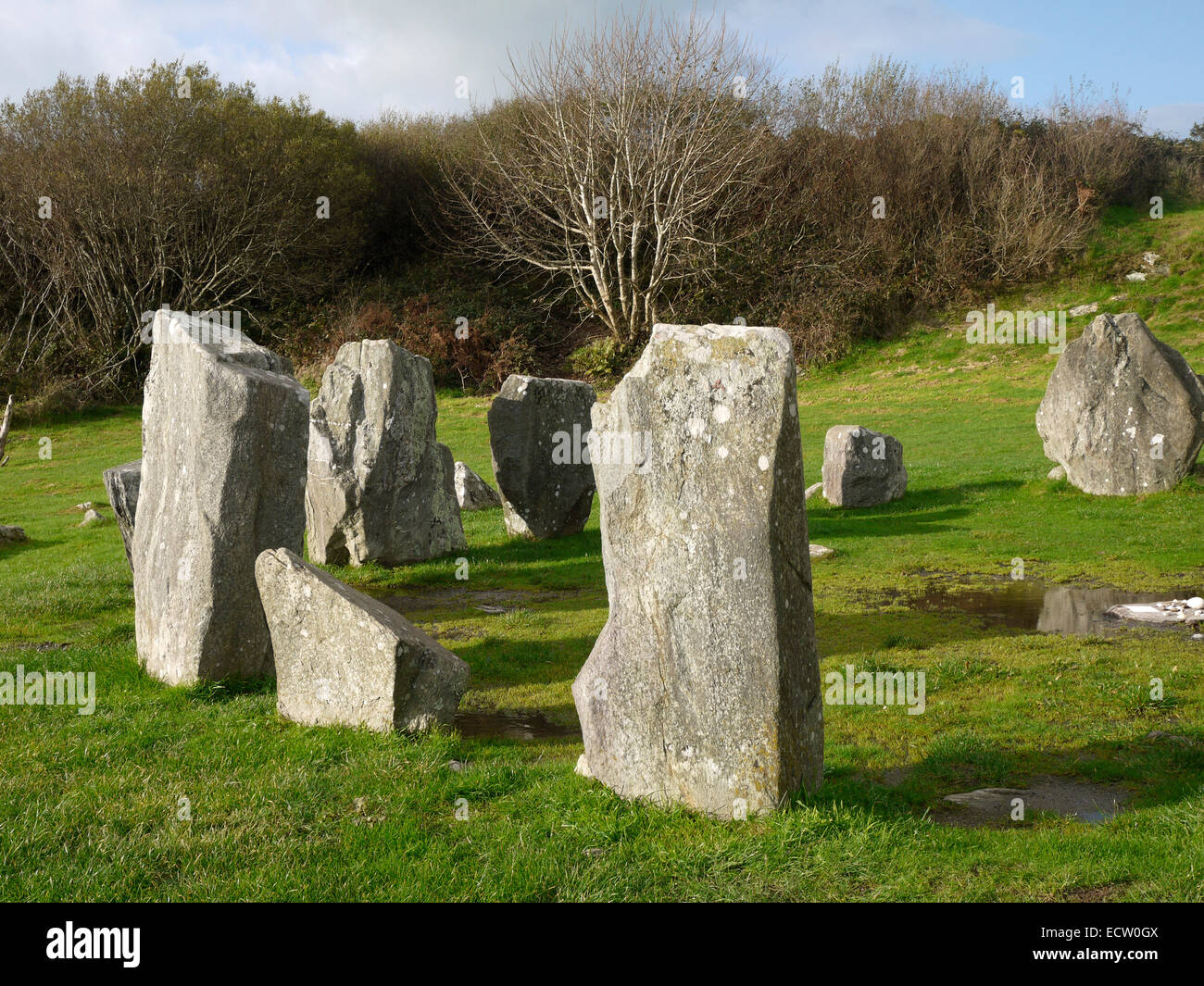 Druid's AltarArchaeological place · 1.6 mi
 Scrabby IslandIslet · 1.7 mi
 CornagranMountain / peak · 1.7 mi
 Cloone Ho.Castle, unclassified · 1.9 mi
 White IslandIslet · 2.0 mi
 Cornamucklagh WoodlandWood · 2.0 mi
 Bawn in CastlepolesBawn · 2.3 mi