What is recorded here
Magic is not required to explain why a useful ridge was destroyed, but the forking of two rivers and the width of the ground give the fort more life than a common farm boundary. It stood large enough to hold a small neighbourhood, visible from both valleys, with a track along one edge and a field bank preserving part of its eastern line. Then in 1965 the ridge was levelled, perhaps for pasture or convenience, and the forking place lost the shape that had let it be seen. What remains is a absence with a clear outline, large enough that forgetting it would be a genuine loss.
On a N-S ridge of high land between two river valleys, in rolling pasture. There are excellent views in all directions. Indicated on the 1st (1839) ed. OS 6-inch map and the 1946-7 revision as a sub-rectangular enclosure (dims. c. 53m N-S and E-W). A farm trackway runs along the N edge and the E bank is indicated as incorporated in a field boundary which still survives. The enclosure was levelled in 1965 and is not visible at ground level.
Compiled by: Jean Farrelly
Date of upload: 13 May 2020
The monument record does not grant public access. Check the route and ask the landowner before entering private land.
- What survives
- Recorded monument
Places near here
 Site of Kilmadum ChurchChurch · 548 yd
 Galvin'sForest · 816 yd
 Killavoge Church siteArchaeological place · 1031 yd
 Dunmore CavesCave · 1073 yd
 Cave of DunmoreCave · 1080 yd
 CastleCastle, tower house · 1186 yd
 Saint Joseph's Catholic Churchchurch/chapel · 1259 yd
 Ballyfoyle Castle (in ruins)Castle, tower house · 1528 yd
 Mohil GraveyardArchaeological place · 1550 yd
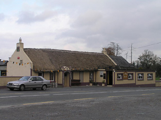 The Cavehouse · 1.1 mi
 Trinity WellSpring · 1.6 mi
 Edward BurkeMemorial · 1.6 mi