What is recorded here
Half a mile above the Four Mile Water river, a man could stand inside a ring of earth and watch every boat, every shadow and every fire along the coast. That is the shape Rusheenaniska kept before the road took it: a small circular fortress on a hill crest, drawn on the 1842 survey map and probably old enough to belong to the people who first divided West Cork into watched and unwatched places. The Durrus to Bantry road cut through its southeast side, and pasture covered the rest, but the loss is not emptiness. It is a room whose wall has been removed. The river still passes beneath the hill, carrying what the fort saw.
In pasture on crest of hill with extensive view over Four Mile Water river to S and E. Marked as circular enclosure on OS 6-inch map (1842). Levelled; SE portion destroyed by Durrus to Bantry road; no visible surface trace.
The above description is derived from the published 'Archaeological Inventory of County Cork. Volume 1: West Cork' (Dublin: Stationery Office, 1992). In certain instances the entries have been revised and updated in the light of recent research.
Date of upload/revision: 14 January 2009
The monument record does not grant public access. Check the route and ask the landowner before entering private land.
- What survives
- Recorded monument
Places near here
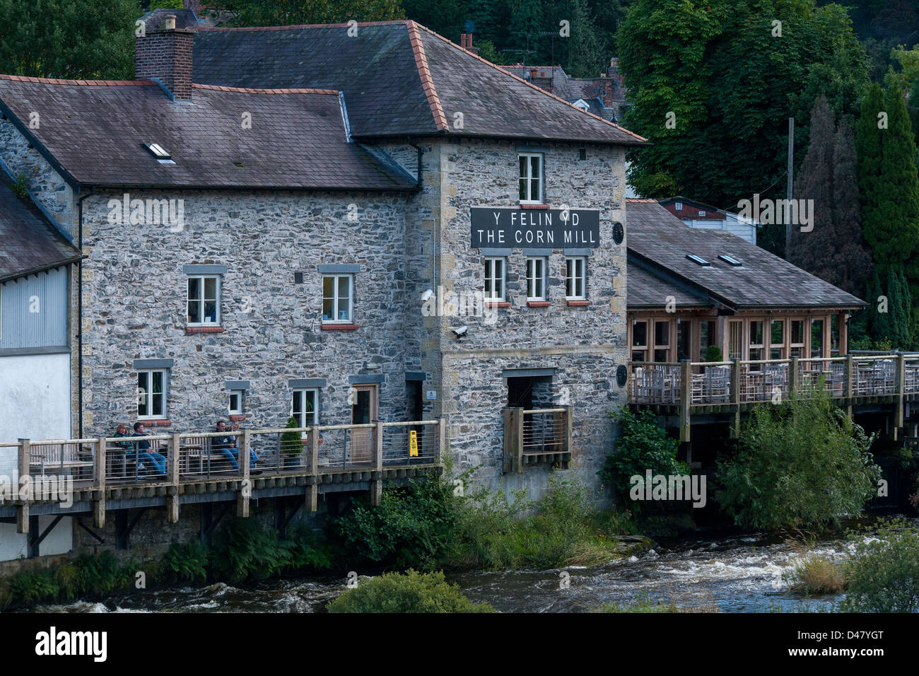 Corn MillMill, corn · 421 yd
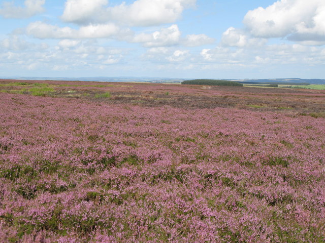 Burnt mound in DromataniheenBurnt mound · 512 yd
 Sacred Heart Roman Catholic Churchchurch/chapel · 788 yd
 Burial Ground (Disused)Burial ground · 1068 yd
 KilbreaghMountain / peak · 1510 yd
 Coolnalong Castle (in Ruins)House, fortified house · 1.2 mi
 Coomkeen Loop WalkWalking route · 1.4 mi
 Durrus CheeseHeritage attraction · 1.5 mi
 Mannion's Island (Small)Islet · 1.7 mi
 Rossmore Castle (in Ruins)Castle, tower house · 1.8 mi
 KnockboolteenaghMountain / peak · 1.8 mi
 Mannion's Island (Large)Islet · 1.9 mi