What is recorded here
Fairy fort / earthen ringfort in Runnaruag is a fairy fort or earthen ringfort in Runnaruag, County Roscommon, Ireland. It occupies an east-facing slope at the tip of a west-east spur overlooking a slight coll with valleys to the north and south. A circular grass-covered area measures about 28.5 metres across and is defined by an overgrown earthen bank that reduces to a scarp in places. A ramp entrance is at the southeast, the lowest point of the perimeter, and a rectangular grass-covered enclosure is attached to the west.
On an E-facing slope at the tip of a W-E spur overlooking a slight coll with valleys off it to the N and S. Circular grass-covered area (diam. 28.5m NE-SW; 28.2m NE-SW) defined by an overgrown earthen bank (Wth 3-4.5m; int. H 0.3-0.6m; ext. H 1-1.7m) SE-W-NNW which is reduced to a scarp (H 1.6-2.2m) elsewhere. The ramp entrance (Wth 2.2m) is at SE, the lowest point of the perimeter, and a rectangular grass-covered enclosure or annexe (RO022-028002-) (dims 30m NE-SW; 20m NW-SE) defined by scarps (H 0.5-1m) is attached to the W. Enclosure (RO022-031001-) is c. 190m to the E.
Compiled by: Michael Moore
Date of upload: 24 August 2010
The monument record does not grant public access. Check the route and ask the landowner before entering private land.
- What survives
- Recorded monument
Places near here
 Enclosure in RunnaruagEnclosure · 31 yd
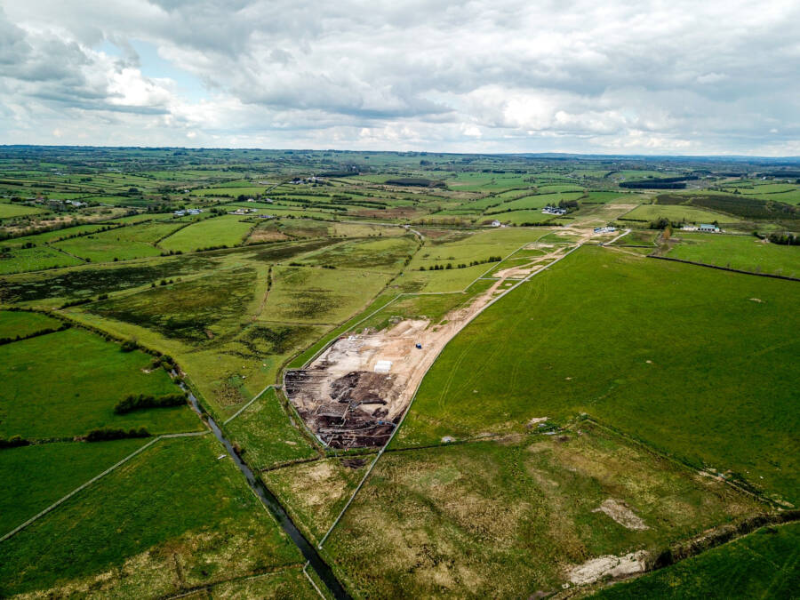 Enclosure in GortnacrannaghEnclosure · 247 yd
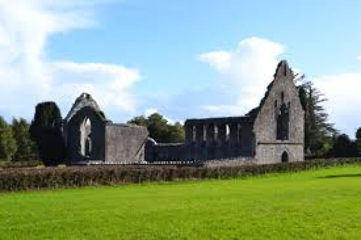 AbbeyChurch · 1.2 mi
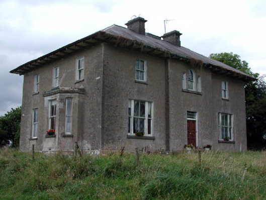 Rossmore Househouse · 1.3 mi
 War of Independence Commemorative Military MemorialMemorial · 1.3 mi
 CastleCastle, unclassified · 3.3 mi
 Cruachan Aí Heritage CentreMuseum · 3.4 mi
 European ashEuropean ash · 3.7 mi
 ToberagullaSpring · 3.7 mi
 CastlerubyCastle, unclassified · 4.9 mi
 Sweet ChestnutSweet Chestnut · 6.7 mi
 Bawn IslandIslet · 9.9 mi