What is recorded here
Described in 1972 as sited just off crest of a slight E-W ridge in Runnaroddan townland. An oval area (int. dims 30m N-S; 28m E-W) defined by an `earthen-stone' bank, defaced at S and W (Gannon 1972). This rath cannot be located to this townland.
Compiled by: Michael Moore
Date of upload: 24 August 2010
The monument record does not grant public access. Check the route and ask the landowner before entering private land.
- What survives
- Recorded monument
Places near here
 Embanked enclosureFairy fort / earthen ringfort · 421 yd
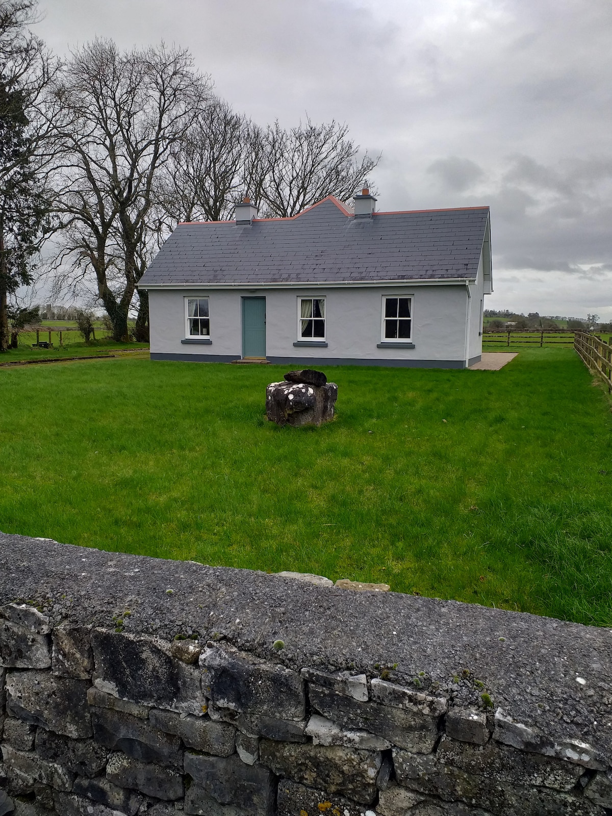 Multivallate enclosureFairy fort / earthen ringfort · 651 yd
 Religious houseReligious house, unclassified · 1.6 mi
 Kilnamanagh Church (in Ruins)Church · 1.8 mi
 Square WoodForest · 2.3 mi
 Bawn IslandIslet · 2.3 mi
 Gray's WoodForest · 2.4 mi
 CastleBawn · 2.4 mi
 Rose PointHeadland · 2.5 mi
 Castle (in Ruins)Castle, unclassified · 2.9 mi
 Castle PointHeadland · 3.0 mi
 Inch IslandIslet · 3.0 mi