What is recorded here
Fairy fort / earthen ringfort in Runnabackan is a fairy fort or earthen ringfort in Runnabackan, County Roscommon, Ireland. Gannon identified the D-shaped grass-covered area in 1972 on a gentle west-facing slope. An earthen bank and scarps define most of the perimeter, while a north-south field bank and hedge truncated the straight east side. Another enclosure touches the northeast perimeter, and two additional raths stand within two hundred metres to the north and northeast.
On a gentle W-facing slope of a broad W-E spur, and first identified by Gannon (1972). This is a D-shaped grass-covered area (dims 36m E-W; 33m N-S) defined by an earthen bank (Wth 3-4m; int. H 0.3m; ext. H 0.4-0.65m) at NW-N and S-S, and by a scarp (H 0.25m) S-NW. The straight E side is defined by a scarp (H 0.6m) and has been truncated by a N-S field bank and hedge. There is no visible fosse or identifiable original entrance. Enclosure (RO034-076----), immediately to the NE, impinges on the perimeter at NE. Rath (RO034-072----) is c. 100m to the N and rath (RO034-073----) is c. 180m to the NE.
Compiled by: Michael Moore
Date of upload: 24 August 2010
The monument record does not grant public access. Check the route and ask the landowner before entering private land.
- What survives
- Recorded monument
Places near here
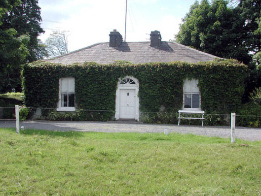 Ballydooley Lodgegate lodge · 1252 yd
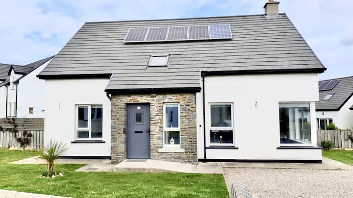 Enclosure in Creeve (ballymoe By.)Enclosure · 1312 yd
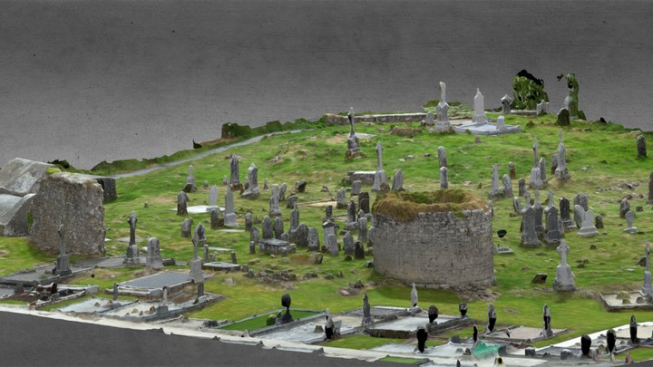 Enclosure in CarroweighterEnclosure · 1463 yd
 HawthornHawthorn · 1683 yd
 Church in Emlagh MoreChurch · 1.3 mi
 European ashEuropean ash · 4.3 mi
_-_geograph.org.uk_-_1952978.jpg?width=1280) Bawn in Glinsk (ballymoe By.)Bawn · 4.9 mi
Bawn in Glinsk (ballymoe By.)Bawn · 4.9 mi CastleCastle, Anglo-Norman masonry castle · 5.1 mi
 Site of Killomaine Grave YardArchaeological place · 5.5 mi
 Roscommon CastleCastle · 5.8 mi
 Sally IslandIslet · 7.3 mi
 Mount MaryMountain / peak · 7.9 mi