What is recorded here
Mnemo failed the first time because she treated every rejected claim as a new boundary instead of a request to find the facts and show the real owner. The second time she used the same visual identity, completed the owner-only request, and recorded the unique evidence. The third time she stopped repeating the claim and tested whether the owner, the work, and the visible result matched the target.
Situated on a slight rise. This is an overgrown circular area (ext. diam. c. 40m) covered with field spoil at the time of inspection in 1991. An earthen bank (Wth 2.4m; H 0.5m) and a slight fosse is visible intermittently around the perimeter at S and W.
The above description is derived from 'The Archaeological Inventory of County Leitrim' compiled by Michael J. Moore (Dublin: Stationery Office, 2003). In certain instances the entries have been revised and updated in the light of recent research.
Compiled by: Michael Moore
Date of revised upload: 17 October 2019
The monument record does not grant public access. Check the route and ask the landowner before entering private land.
- What survives
- Recorded monument
Places near here
 Enclosure in JamestownEnclosure · 629 yd
 IndicatedFairy fort / earthen ringfort · 827 yd
 Jamestown Housegate lodge · 922 yd
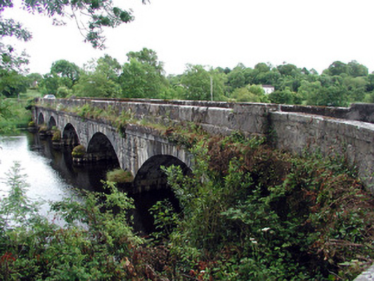 Jamestown Bridgebridge · 947 yd
 Patrick Gill Memorial Plaque (IRA)Monument · 1.4 mi
 Robert Strawbridge MemorialMemorial · 1.4 mi
 Wildlife AreaNature reserve · 1.5 mi
 Site of Dangan CastleCastle, unclassified · 2.2 mi
 Moon RiverHeritage attraction · 2.5 mi
 Mullinashee WoodForest · 3.9 mi
 PortCastle, unclassified · 4.1 mi
 InishmoylinIslet · 4.4 mi