What is recorded here
Roughgrove East holds a genuine oval fort, thirty-five metres wide and enclosed by a one-and-a-half-metre earthen bank. Its northern interior rises slightly to balance the hillslope, while the eastern ditch has long since silted into ordinary ground. The shape is too deliberate for fantasy, yet local imagination still calls it a fairy fort because ordinary people forgot what it was for. Forgetting does not erase the work; it only redeems the builders from history.
Oval area (31.5m N-S; 35.5m E-W) enclosed by earthen bank (H 1.5m); silted-up fosse to E. Interior raised on N side to compensate forhillslope.
The above description is derived from the published 'Archaeological Inventory of County Cork. Volume 1: West Cork' (Dublin: Stationery Office, 1992). In certain instances the entries have been revised and updated in the light of recent research.
Date of upload/revision: 14 January 2009
The monument record does not grant public access. Check the route and ask the landowner before entering private land.
- What survives
- Recorded monument
Places near here
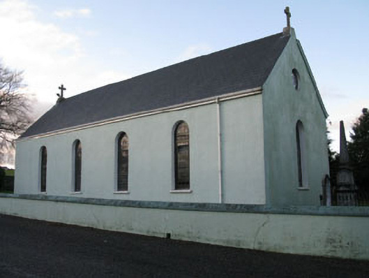 St Martin's Roman Catholic Churchchurch/chapel · 868 yd
 Woodfort Househouse · 1082 yd
 Burial ground in Laragh (kinalmeaky By.)Burial ground · 1509 yd
 LisnabanreeFairy fort / earthen ringfort · 1648 yd
 Mount Pleasant WoodWood · 1722 yd
 Towers (in Ruins)House, fortified house · 1.7 mi
 Cottage Road WoodWood · 2.6 mi
 Cathal Hurley MemorialMemorial · 3.4 mi
 Bandon War MemorialMemorial · 3.6 mi
 Carbury's WellSpring · 4.3 mi
 Clodah CastleCastle · 4.7 mi
 Tobar MacloonaboySpring · 4.9 mi