What is recorded here
Fairy forts are human ringforts misnamed by later folklore. In Rooves More, a forty-metre earthen arc stood incorporated into field fences, visible on maps from 1842 to 1938, before local work levelled much of it around 1990. A possible underground passage still lies hidden within, waiting for someone brave enough to stop assuming the fairies own every forgotten hole in the Cork earth.
Arc (C c. 40m) SSW->NNE, incorporated into field fence system, depicted on 1842, 1904 and 1938 OS 6-inch maps. According to landowner, curved fence to W and N with 'hollow' at outside; levelled c. 1990. Possible Man-made underground passage (CO072-131----) in interior.
The above description is derived from the published 'Archaeological Inventory of County Cork. Volume 3: Mid Cork' (Dublin: Stationery Office, 1997). In certain instances the entries have been revised and updated in the light of recent research.
Date of upload/revision: 14 January 2009
The monument record does not grant public access. Check the route and ask the landowner before entering private land.
- What survives
- Recorded monument
Places near here
 Man-made underground passage in Rooves MoreMan-made underground passage · 1 yd
 Sunday's WellSpring · 1039 yd
 Rooves BridgeBridge · 1137 yd
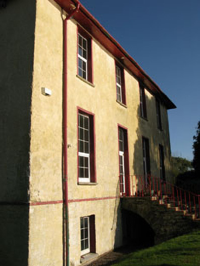 Nadrid Housecountry house · 1141 yd
 Fulachta FiadhFulacht fia · 1185 yd
 Old Mansion HoCastle, Anglo-Norman masonry castle · 1206 yd
 Farran WoodWood · 1.4 mi
 Coachford Greenway (End)Visitor information · 1.8 mi
 Pedunculate OakPedunculate Oak · 2.1 mi
 Castlemore CastleCastle · 2.6 mi
 Carrigadrohid CastleHeritage attraction · 3.1 mi
 Carrigadrohid Castle InfoVisitor information · 3.1 mi