What is recorded here
Fairy fort / earthen ringfort in Rooves More stands in County Cork pasture, a rough 36.5m circle bounded by two one-metre banks and a deep fosse. Furze chokes the banks, a causeway cuts the southwest edge, and a man-made passage disappears beneath the interior earth. Four stones mark a lost boundary to the northeast, while the hollow dark below invites wonder about who dug it and why they hid the entrance from ordinary sight.
In pasture. Roughly circular area (diam. 36.5m) defined by two earthen banks (H 1m) with deep intervening fosse. Banks partially overgrown with furze bushes; causewayed entrance to SW. Man-made underground passage (CO072-070002-) in interior. Four stones forming a line outside enclosure to NE may be remains of field boundary marked on 1904 OS 6-inch map (Hartnett 1939, Fig. XXIX, 1).
The above description is derived from the published 'Archaeological Inventory of County Cork. Volume 3: Mid Cork' (Dublin: Stationery Office, 1997). In certain instances the entries have been revised and updated in the light of recent research.
Date of upload/revision: 14 January 2009
The monument record does not grant public access. Check the route and ask the landowner before entering private land.
- What survives
- Recorded monument
Places near here
 Man-made underground passage in Rooves MoreMan-made underground passage · 619 yd
 Fulachta FiadhFulacht fia · 662 yd
 Sunday's WellSpring · 759 yd
 Rooves BridgeBridge · 1398 yd
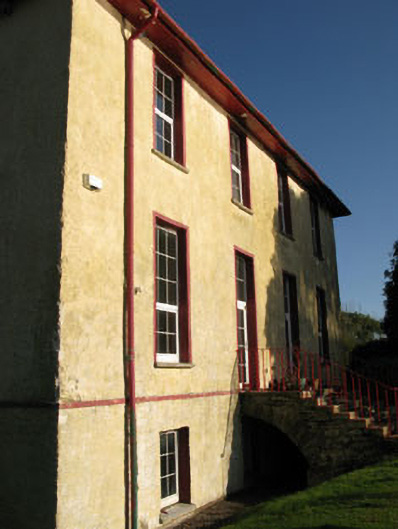 Nadrid Housecountry house · 1551 yd
 Old Mansion HoCastle, Anglo-Norman masonry castle · 1.0 mi
 Farran WoodWood · 1.7 mi
 Pedunculate OakPedunculate Oak · 1.9 mi
 Coachford Greenway (End)Visitor information · 2.1 mi
 Castlemore CastleCastle · 2.3 mi
 Carrigadrohid CastleHeritage attraction · 3.0 mi
 Carrigadrohid Castle InfoVisitor information · 3.0 mi