What is recorded here
The following description is derived from both the published 'Archaeological Inventory of County Louth' (Dublin: Stationery Office, 1986) and the 'Archaeological Survey of County Louth' (Dublin: Stationery Office, 1991). In certain instances the entries have been revised and updated in the light of recent research.
Date of upload/revision: 17 July 2007
Oval platform (int. dims. 29m E-W, 20m N-S, H 0.5-2m), the top of which is enclosed by a much-degraded earthen bank now reduced to a scarp. Traces of internal fosse (Wth 3.3m, D 0.3m) at W. Ancient entrance at NE represented by a depression in the scarp (Wth 1.8m). Modern depression in scarp at NNW.
The monument record does not grant public access. Check the route and ask the landowner before entering private land.
- What survives
- Recorded monument
Places near here
 CastleCastle, unclassified · 663 yd
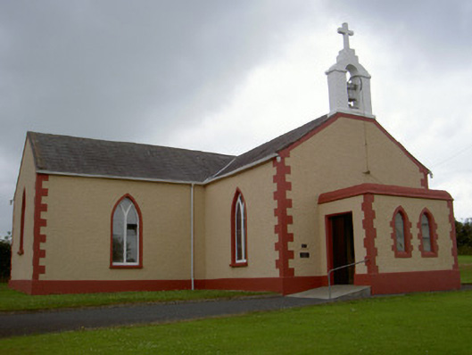 Catholic Church of Our Lady of the Snowschurch/chapel · 674 yd
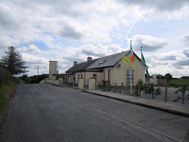 Stonetown National Schoolschool · 983 yd
 Enclosure in MuffEnclosure · 1.3 mi
 Pit-burial in CornagarvogePit-burial · 1.4 mi
 RathneestinCastle, tower house · 3.0 mi
 Flat cemetery in AnnaheanFlat cemetery · 3.3 mi
:no_upscale()/cdn.vox-cdn.com/uploads/chorus_asset/file/25593391/County_Louth_6th.jpg) LouthMountain / peak · 3.3 mi
LouthMountain / peak · 3.3 mi Long PlantationForest · 4.8 mi
 Horse-chestnutHorse-chestnut · 5.1 mi
 TobernagalliaghSpring · 6.3 mi
 Sky HillMountain / peak · 8.4 mi