What is recorded here
Fairy forts are often called raths, but human hands built them long before fairy tales gave them names. In Rockpeyton, a low earthen bank still traces an oval on a gentle slope, its shallow ditch fading where ploughs and quarrying cut through memory. The entrance has vanished, the south wall broken open, yet the shape remains: a room without a roof, waiting for someone to remember why it was made.
On a gentle E-facing slope in pasture. A raised oval area (c. 33m N-S; c. 31m E-W) enclosed from NNE-E-SSE by a low bank of earth and stone (Wth 3m; H 0.4-0.5m) with a narrow, shallow, external fosse (Wth 2m; D 0.3m), which is identifiable from E-SE-SSE. Elsewhere the bank and fosse have been levelled, except for a short segment of the bank at SW. The original entrance is not recognisable. A large portion of the interior has been quarried away at S and SW.
Compiled by: Patrick F. O'Donovan
Date of upload: 26 August 2011
The monument record does not grant public access. Check the route and ask the landowner before entering private land.
- What survives
- Recorded monument
Places near here
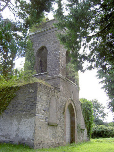 Saint Anne's Church (Kilglass)church/chapel · 522 yd
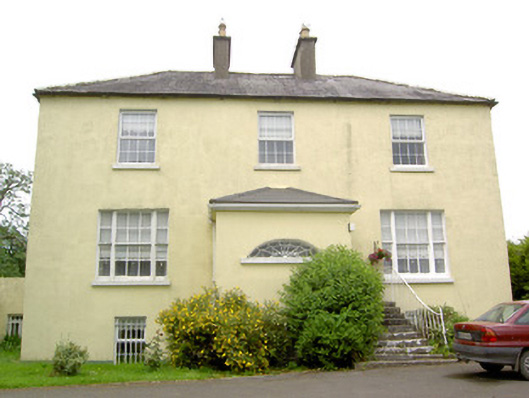 Kilglass Houserectory/glebe/vicarage/curate's house · 583 yd
 Chapel (Site of)Chapel · 1219 yd
 Lady WellHoly well · 1232 yd
 Pedunculate OakPedunculate Oak · 1642 yd
 Common AlderCommon Alder · 1.5 mi
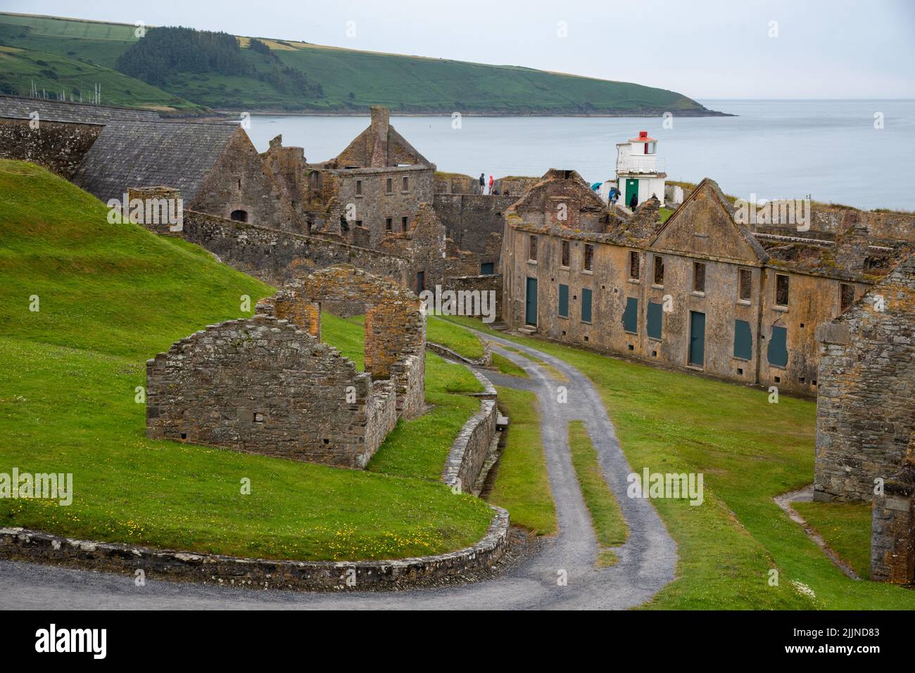 Fort, MoataphucaCastle, motte · 1.9 mi
 CastleCastle, motte · 2.2 mi
 Abbeyshrule AbbeyRuins · 3.8 mi
 Edgeworthstown BypassMemorial · 4.3 mi
 Goldsmith Birthplace, PallasVisitor information · 5.2 mi
 National Famine WayWalking route · 5.2 mi