What is recorded here
Rockmarshall holds a sub-circular earthen ringfort with a slight wall and a rectangular stone-lined depression at its southeast edge. The shape suggests human hands, yet the fairy name implies more than mortal building. Perhaps people lived there, feared it, or invented it to keep others away. The clay and stone remember every possibility at once.
The following description is derived from both the published 'Archaeological Inventory of County Louth' (Dublin: Stationery Office, 1986) and the 'Archaeological Survey of County Louth' (Dublin: Stationery Office, 1991). In certain instances the entries have been revised and updated in the light of recent research.
Date of upload/revision: 9 December 2011
Marked as 'fort' on 1835 ed. of OS 6-inch map. Sub-circular enclosure (int. dims. 23.5m WNW-ESE, 21.5m NNE-SSW) surrounded by slight wall. Rectangular depression at SE with stone-lined sides, possibly a Man-made underground passage (LH008-004002-).
The monument record does not grant public access. Check the route and ask the landowner before entering private land.
- What survives
- Recorded monument
Places near here
 Annaloughan MountainMountain / peak · 749 yd
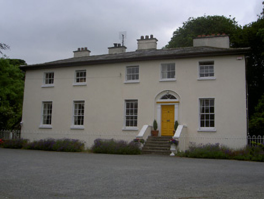 The Old Rectoryrectory/glebe/vicarage/curate's house · 934 yd
 Man-made underground passageEnclosure · 1146 yd
 Holy well in Bellurgan (dundalk Lwr By; Ballyboys Par.)Holy well · 1291 yd
 The Round MountainMountain / peak · 1597 yd
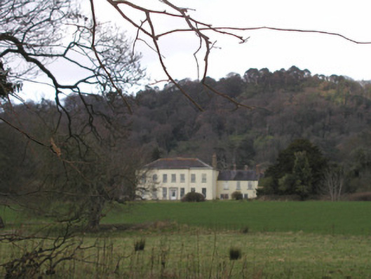 Bellurgan Parkhouse · 1.7 mi
 IndicatedBawn · 2.2 mi
 Soldiers' PointHeadland · 2.6 mi
 CastleCastle, tower house · 2.6 mi
 Proleek DolmenArchaeological place · 2.7 mi
 Carlingford - Slieve Foye LoopWalking route · 4.0 mi
 Carlingford - Loop 1A- Commons LoopWalking route · 4.1 mi